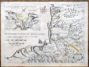
![Spaine newly described with many adictions both in the attires of the people & the setuations of their cheifest cityes John Speed Thomas Basset & Richard Chiswell [Londres] 1626](https://imagovasconiae.eus/wp-content/uploads/2024/03/34-1.jpg "34-1")
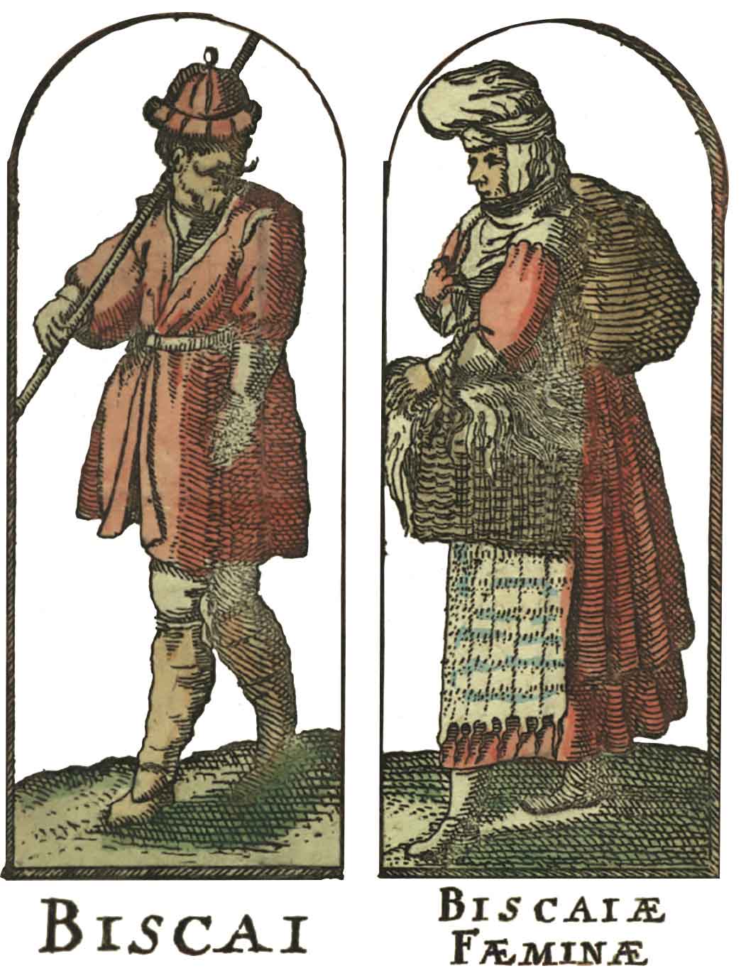
![Spaine newly described with many adictions both in the attires of the people & the setuations of their cheifest cityes John Speed Thomas Basset & Richard Chiswell [Londres] 1626](https://imagovasconiae.eus/wp-content/uploads/2024/04/34.jpg "34")
Deskribapena
XVII. mende hasieran, Herbehereetako atlasen argitaratzaileek berrikuntza bat sartu zuten mapetan: orla bat. Orletan, eman ohi ziren hiri nagusien ikuspegiak, agintarien irudiak eta lurraldean bizi ziren pertsonen janzkeraren adibideak. 1626an, John Speedek, ingeles batek inoiz argitaratu lehendabiziko atlasaren egileak, Espainiako Mapa hau argitaratu zuen. Bertan, gizon-emakume euskaldunen janzkera adibideak erakusten dira. “Biscaya” Asturiaseraino heltzen da.
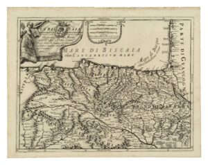
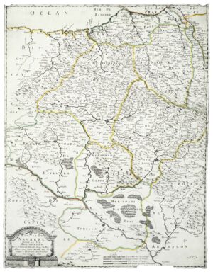
![Le coste della Francia sul’ Mare Oceano Giacomo Cantelli da Vignola [Giovanni Giacomo de Rossi] [Erroma] [1690 inguru]](https://imagovasconiae.eus/wp-content/uploads/2024/03/49-1-300x483.jpg)
![Le coste della Francia sul’ Mare Oceano Giacomo Cantelli da Vignola [Giovanni Giacomo de Rossi] [Erroma] [1690 inguru]](https://imagovasconiae.eus/wp-content/uploads/2024/04/49.jpg)