

![Spaine newly described with many adictionsboth in the attires of the people & thesetuations of their cheifest cityesJohn SpeedThomas Basset & Richard Chiswell[Londres] 1626](https://imagovasconiae.eus/wp-content/uploads/2024/03/34-1.jpg "34-1")
![Spaine newly described with many adictionsboth in the attires of the people & thesetuations of their cheifest cityesJohn SpeedThomas Basset & Richard Chiswell[Londres] 1626](https://imagovasconiae.eus/wp-content/uploads/2024/04/34.jpg "34")
Description
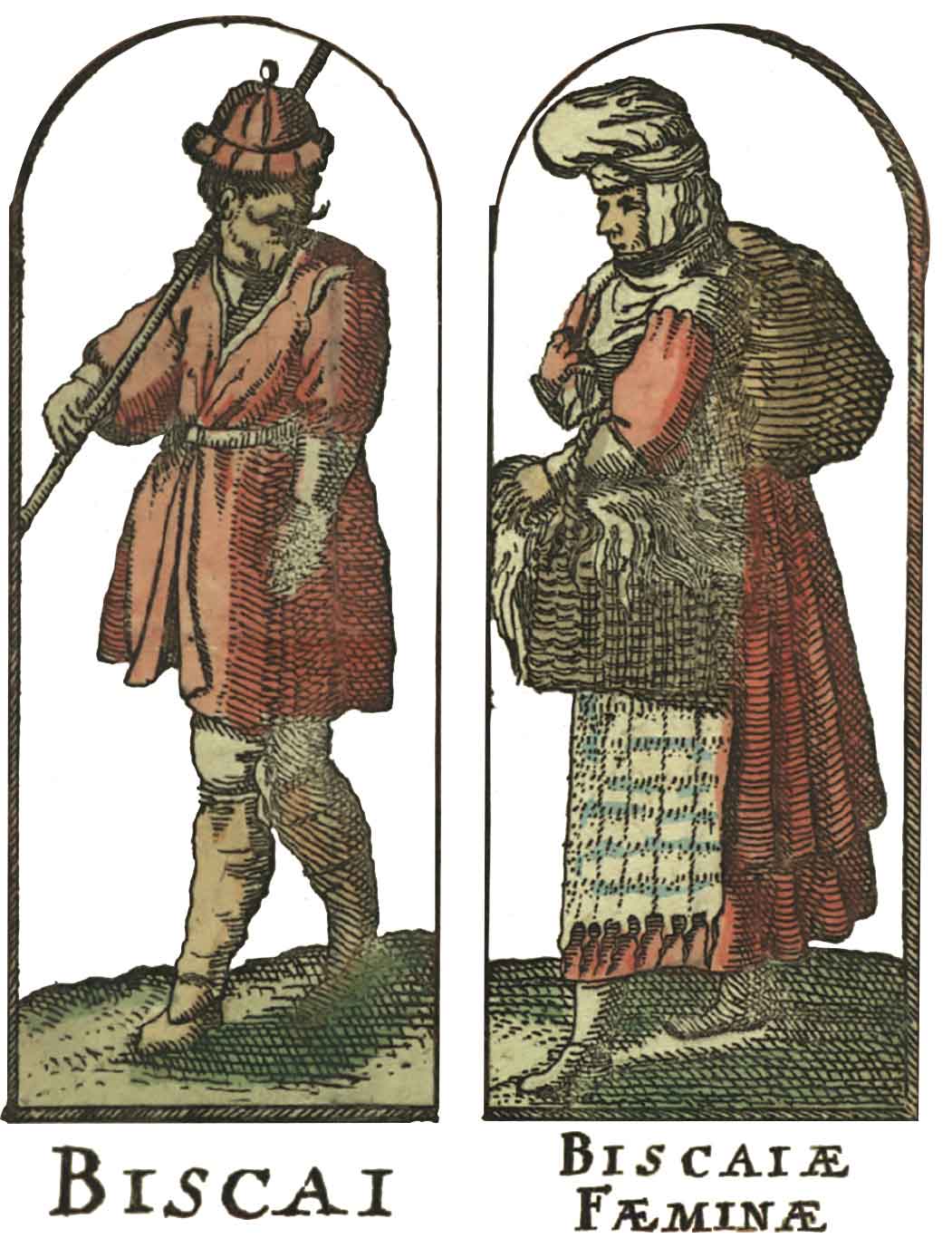
Since the early 17th century, publishers in the Netherlands introduced decorative margins to their maps as a novelty. These margins usually showcased views of major cities, images of rulers and examples of folk attires for each territory. In 1626, John Speed, author of the earliest world atlas published in English, issued this Map of Spain, depicting several examples of Biscayne women and men in their distinctive costumes. “Biscaya” extends over to Asturias.
![[Mapamundia][Urbano Monti]EskuizkribuaMilan [1587]](https://imagovasconiae.eus/wp-content/uploads/2024/03/27-1-300x223.jpg)
![[Mapamundia][Matteo Ricci]argitaletxerikgabe[Beijing] [1602]](https://imagovasconiae.eus/wp-content/uploads/2024/03/30-1-300x147.jpg)
![[Iberiar Penintsulako eta Afrika Ipar-ekialdeko karta portulanoa] [Battista Agnese] Eskuizkribua [Venezia] [1553 inguru](https://imagovasconiae.eus/wp-content/uploads/2024/03/14-1-1-300x214.jpg)
![Europa[Ephraim Pagitt][J. Okes][Londres] [1635]](https://imagovasconiae.eus/wp-content/uploads/2024/03/40-1-300x222.jpg)
