Description
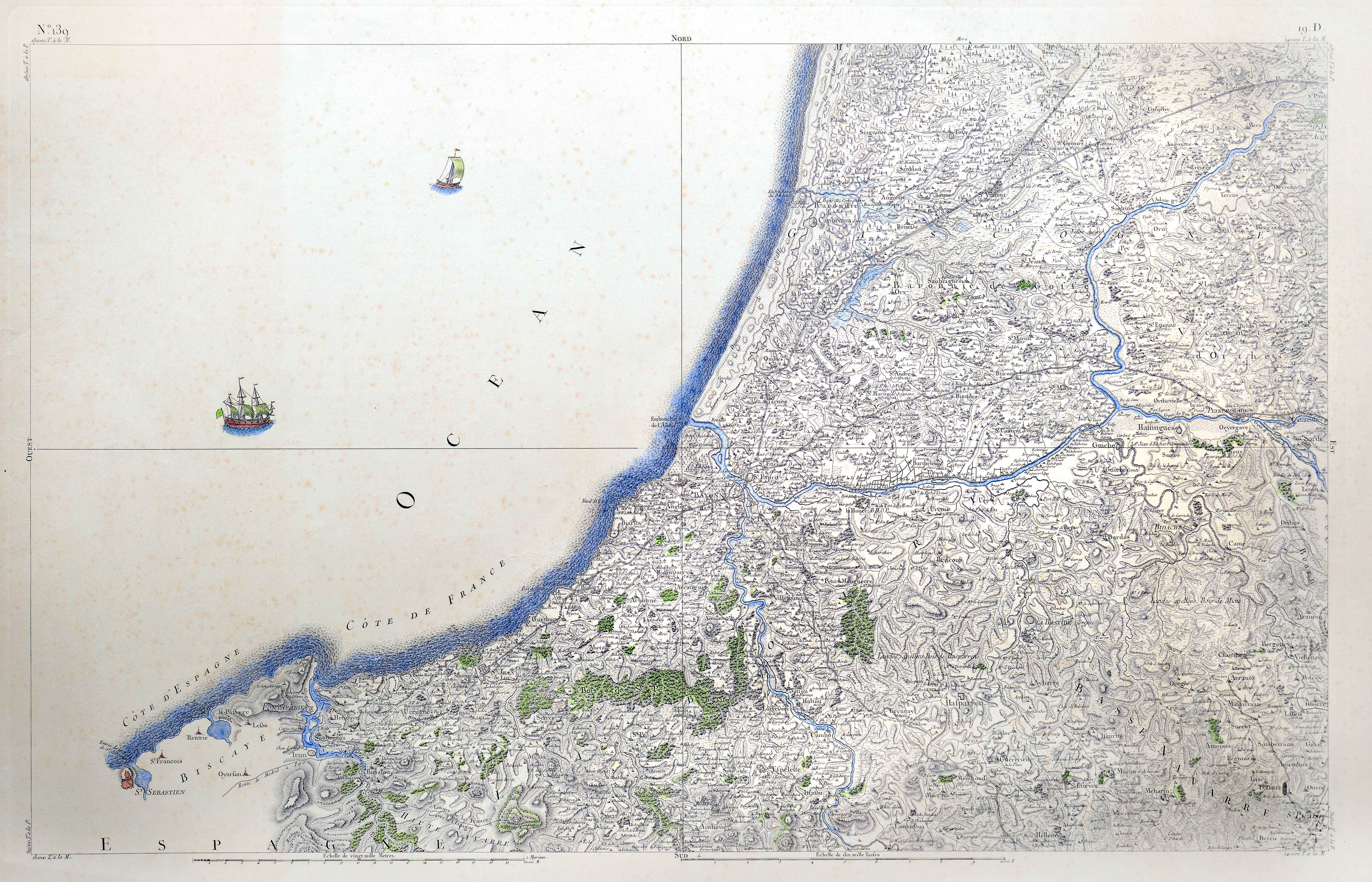
The Cassini family map is the first scientifically based map to chart the entirety of a modern state. At the remarkable scale of 1/86440, it shows the entirety of the kingdom over its 180 sheets, devoting up to 4 sheets to the Basque Country north of the Pyrenees.
![[Mediterraneoko eta Atlantikoaren kostaldeko itsasbidea][Plácido Caloiro y Oliva]Eskuizkribual.g. [16-–]](https://imagovasconiae.eus/wp-content/uploads/2024/03/24-1-300x154.jpg)
![[Espainia][Diogo Homen]Eskuizkribualeku gabe [1559]](https://imagovasconiae.eus/wp-content/uploads/2024/03/22-1-300x224.jpg)