

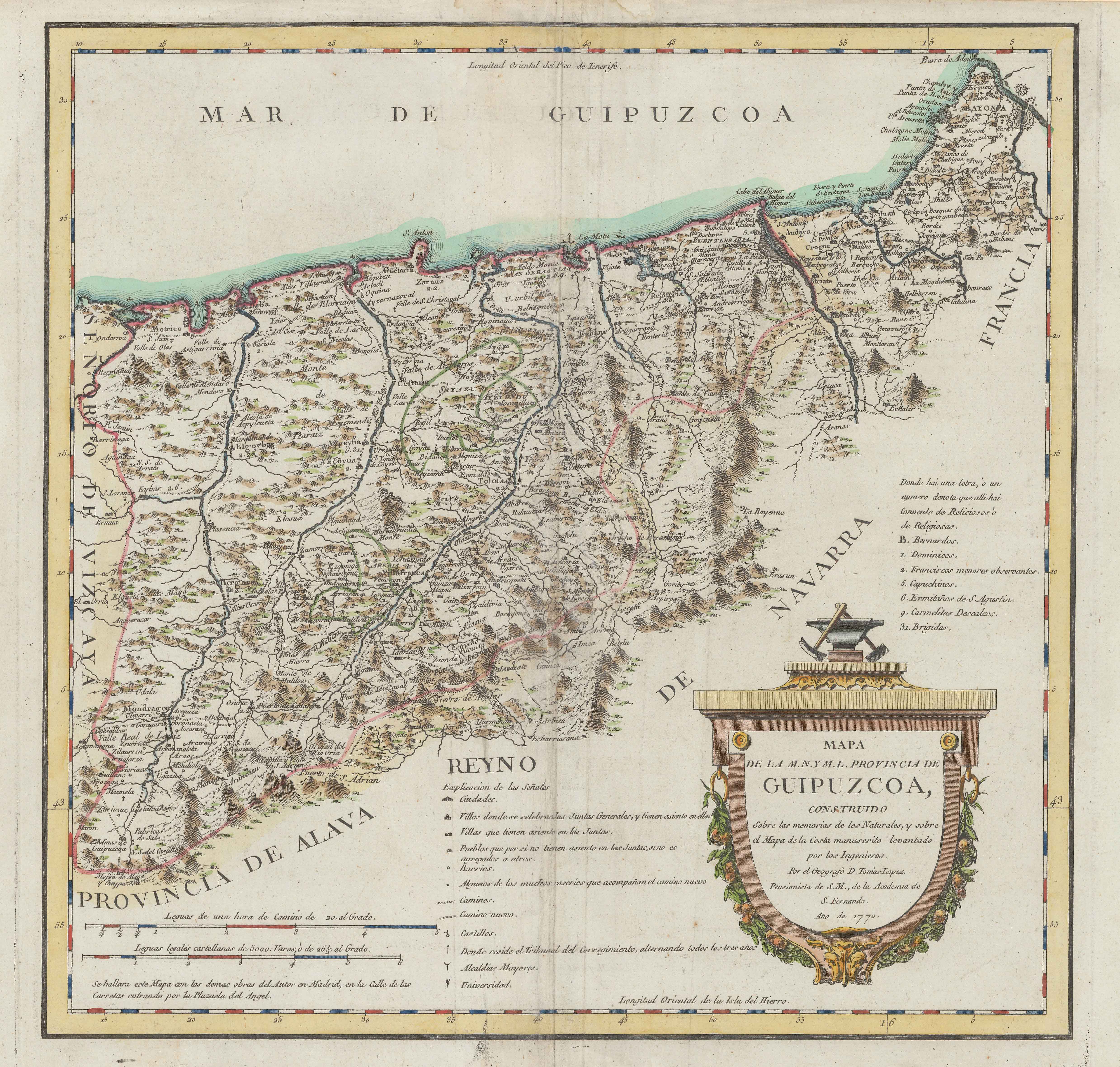
Description
Tomás López was an office geographer. López never visited the lands he charted, but arranged remarkably well all the pieces of information collected, both the ones retrieved from previous maps and the answers submitted by locals of Gipuzkoa in their questionnaires. This map of Gipuzkoa published in 1770 saw several reeditions, with an emphasis on relief and a better design of the road network.
![Tabula Europae II [Sebastian Münster][Henricus Petri][Basilea] [1540]](https://imagovasconiae.eus/wp-content/uploads/2024/03/12-1-300x235.jpg)
![[Tabula II Europae][Laurent Fries][Joannes Grüninger][Estrasburgo] [1522]](https://imagovasconiae.eus/wp-content/uploads/2024/03/8-1-300x218.webp)
![[Espainia][Diogo Homen]Eskuizkribualeku gabe [1559]](https://imagovasconiae.eus/wp-content/uploads/2024/03/22-1-300x224.jpg)
![De Hispania: Hispaniae descriptio secundumregna eius, prouincias fluuios & ciuitates[Sebastian Münster][Henricus Petri][Basilea] [1550 inguru]](https://imagovasconiae.eus/wp-content/uploads/2024/03/16-1-300x171.jpg)
