

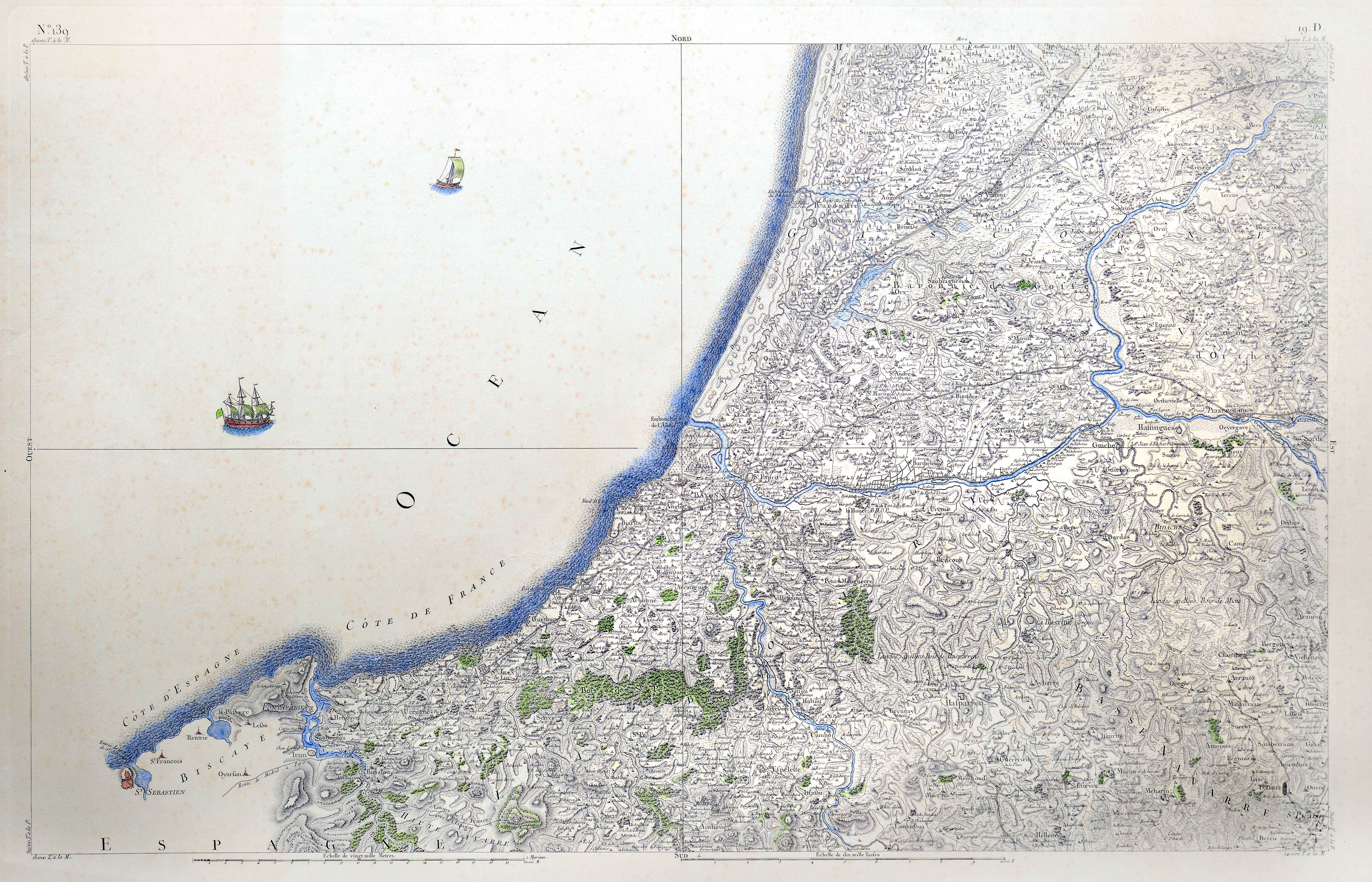
Description
The Cassini family map is the first scientifically based map to chart the entirety of a modern state. At the remarkable scale of 1/86440, it shows the entirety of the kingdom over its 180 sheets, devoting up to 4 sheets to the Basque Country north of the Pyrenees.
![[Mapamundia][Urbano Monti]EskuizkribuaMilan [1587]](https://imagovasconiae.eus/wp-content/uploads/2024/03/27-1-300x223.jpg)
![[Europa][Giuseppe Rosaccio][Giuseppe Rosaccio][Venezia] [1594 inguru]](https://imagovasconiae.eus/wp-content/uploads/2024/03/29-1-300x232.jpg)
![Hispaniae Nova Describtio.De Integro Multis inLocis, SecundumHydrographicas, Desc. Emendata[Mercator-Hondius]Jodocus HondiusAmsterdam [1606]](https://imagovasconiae.eus/wp-content/uploads/2024/03/31-1-300x213.jpg)
![[Iberiar Penintsulako eta Afrika Ipar-ekialdeko karta portulanoa] [Battista Agnese] Eskuizkribua [Venezia] [1553 inguru](https://imagovasconiae.eus/wp-content/uploads/2024/03/14-1-1-300x214.jpg)
