

Description
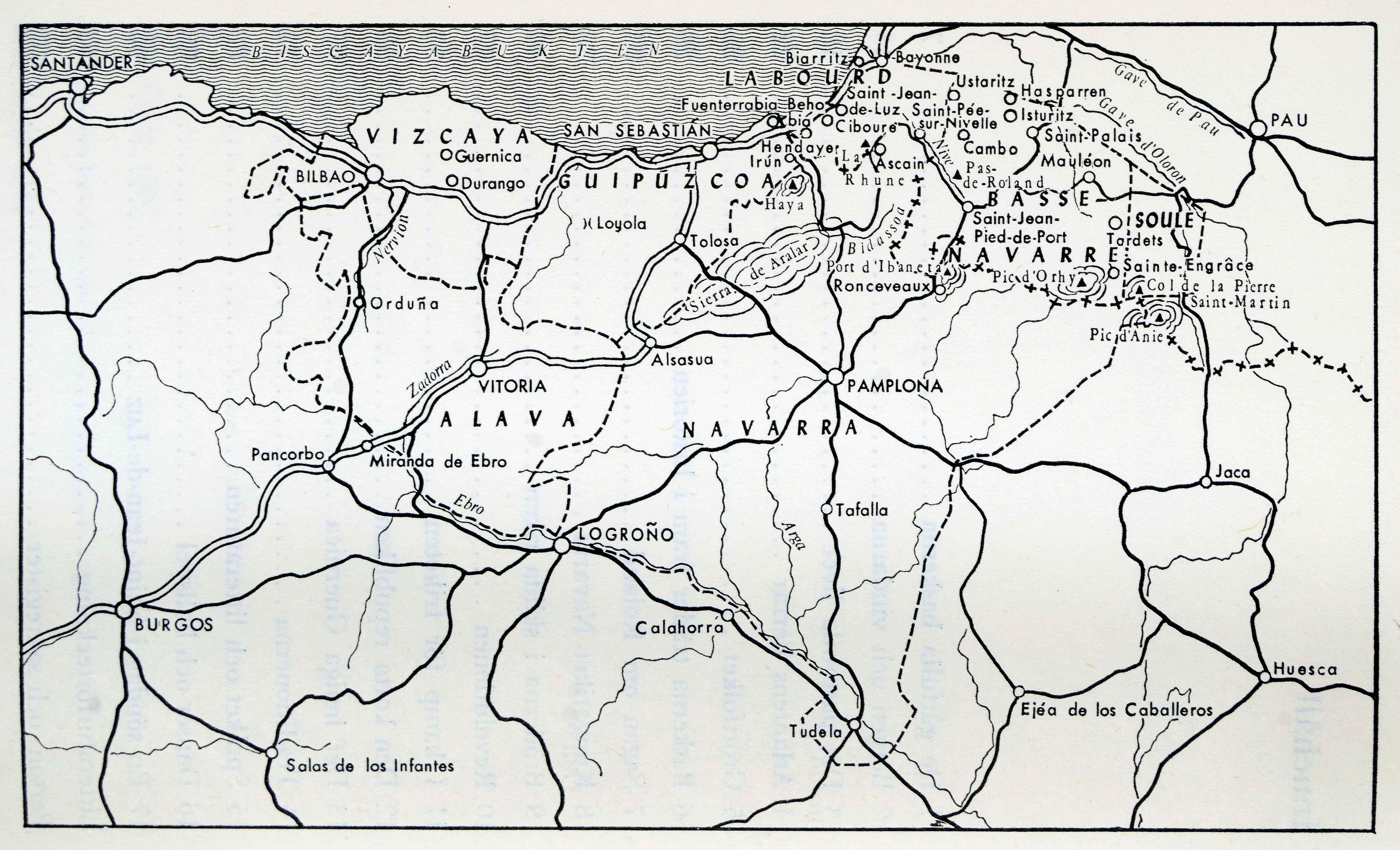
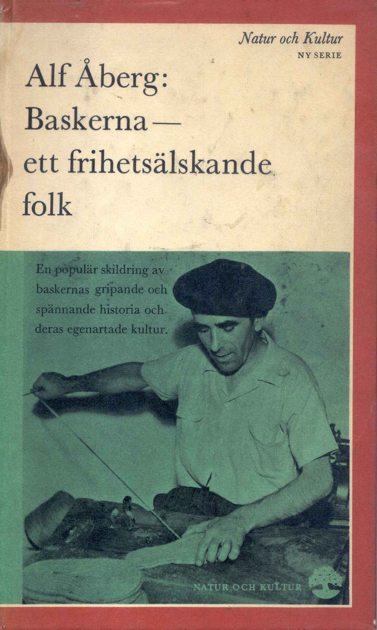
Without as much quality as the work of Pio Baroja, the decades of the 50s and 60s saw the issue of numerous maps of the Basque Country in different European and American publications, accompanying travel books, guides or socio-political essays.
![[Tabula II Europae][Laurent Fries][Joannes Grüninger][Estrasburgo] [1522]](https://imagovasconiae.eus/wp-content/uploads/2024/03/8-1-300x218.webp)
![De Hispania: Hispaniae descriptio secundumregna eius, prouincias fluuios & ciuitates[Sebastian Münster][Henricus Petri][Basilea] [1550 inguru]](https://imagovasconiae.eus/wp-content/uploads/2024/03/16-1-300x171.jpg)
![Europa, das ein drittheil der erden, nach gelegenheit unserer zeit beschrieben[Sebastian Münster][Henricus Petri][Basilea] [1588]](https://imagovasconiae.eus/wp-content/uploads/2024/03/11-1-300x168.jpg)
![Hispaniae Nova Describtio.De Integro Multis inLocis, SecundumHydrographicas, Desc. Emendata[Mercator-Hondius]Jodocus HondiusAmsterdam [1606]](https://imagovasconiae.eus/wp-content/uploads/2024/03/31-1-300x213.jpg)
