

Description
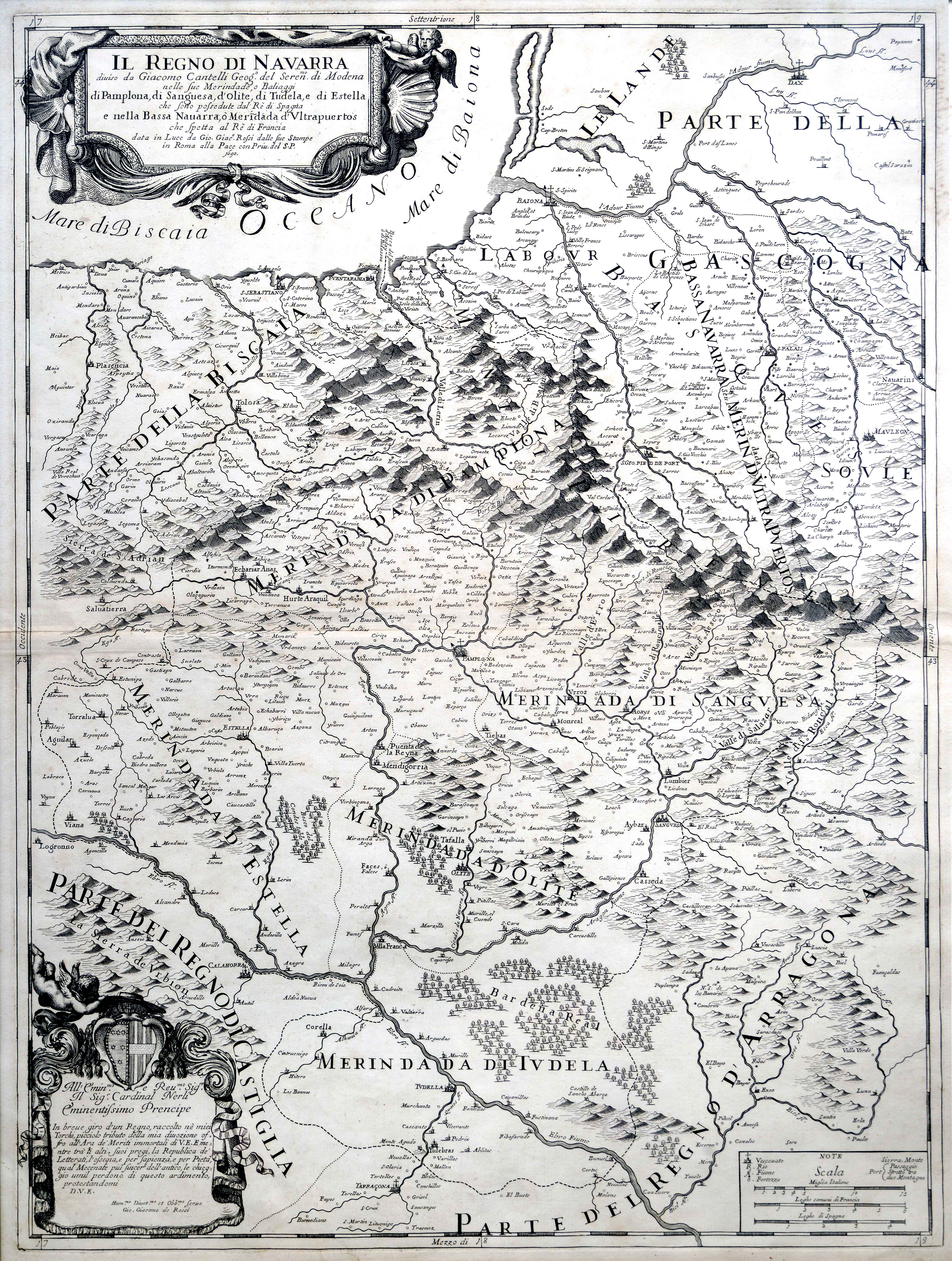
Collaboration between the publisher Rossi and the cartographer Cantelli extended for 25 years, since 1679 until the cartographer’s demise in 1695. This map of Navarre shows the five merindades or regional subdivisions of the peninsular Navarre, the Lower Navarre or “Bassa Navarra”, as well as “Soule” (Zuberoa), “Labour” (Lapurdi) and “Parte della Biscaia”.
![[Europa][Heinrich Bünting][Z. Krafft][Wittenberg] [1587 inguru]](https://imagovasconiae.eus/wp-content/uploads/2024/03/28-1-300x214.jpg)
![Tabula Secunda Europe [Martin Waldseemüller][Joannes Schott][Estrasburgo] [1513]](https://imagovasconiae.eus/wp-content/uploads/2024/03/7-1-300x201.webp)
![Regni Hispaniae postomnium editioneslocupletissima descriptio[Abraham Ortelius]arg. g.[Anberes] [1570]](https://imagovasconiae.eus/wp-content/uploads/2024/03/19-1-300x223.jpg)
![[Hispania]Paulo di ForlaniF. Bertelli[Venezia] [1560 inguru]](https://imagovasconiae.eus/wp-content/uploads/2024/03/17-1-300x252.jpg)
