

Description
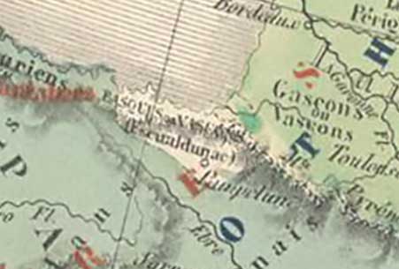
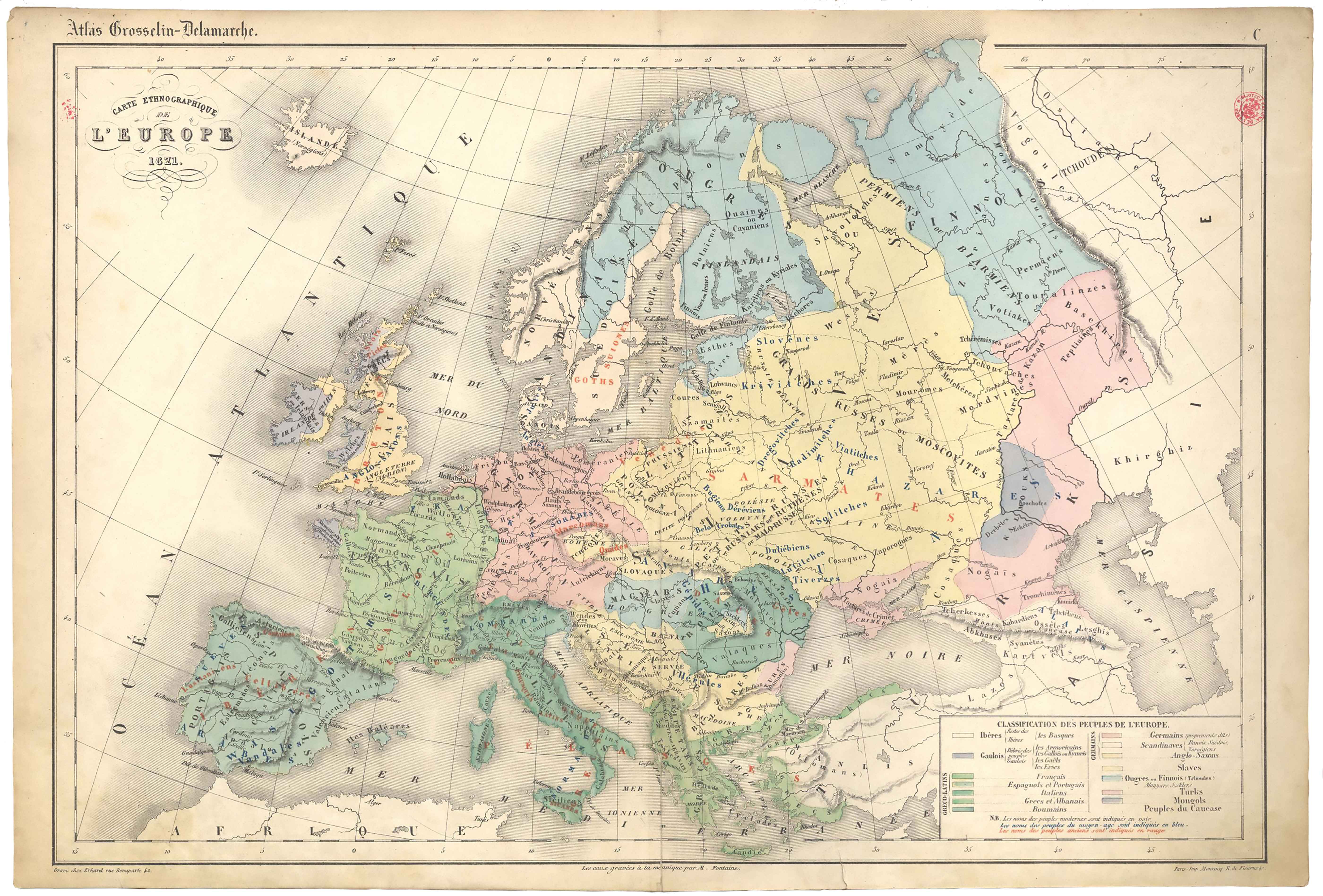
During the last third of the 19th century, the successive editions of Grosselin-Delamarche’s educational atlas provided this ethnographic map of Europe, showing the label “Escualdunac” for the Basque area, as as well as the city of Iruñea. This is possibly the first time the Basque-language demonym for “Basques” appears on a map.
![Tabula Europae II[Girolamo Ruscelli][Vincenzo Valgrisi][Venezia] [1561]](https://imagovasconiae.eus/wp-content/uploads/2024/03/18-1-300x220.jpg)
![HispaniaEg. g.Arg. g[XVI. mendea]](https://imagovasconiae.eus/wp-content/uploads/2024/03/5-1-300x246.webp)
![[Mapamundia][Matteo Ricci]argitaletxerikgabe[Beijing] [1602]](https://imagovasconiae.eus/wp-content/uploads/2024/03/30-1-300x147.jpg)
![Tabu[la] Nova Hispaniae [Laurent Fries] [Miguel Servet][Melchor eta Gaspar Trechsel][Lyon] [1535]](https://imagovasconiae.eus/wp-content/uploads/2024/03/9-1-300x144.webp)
