

Description
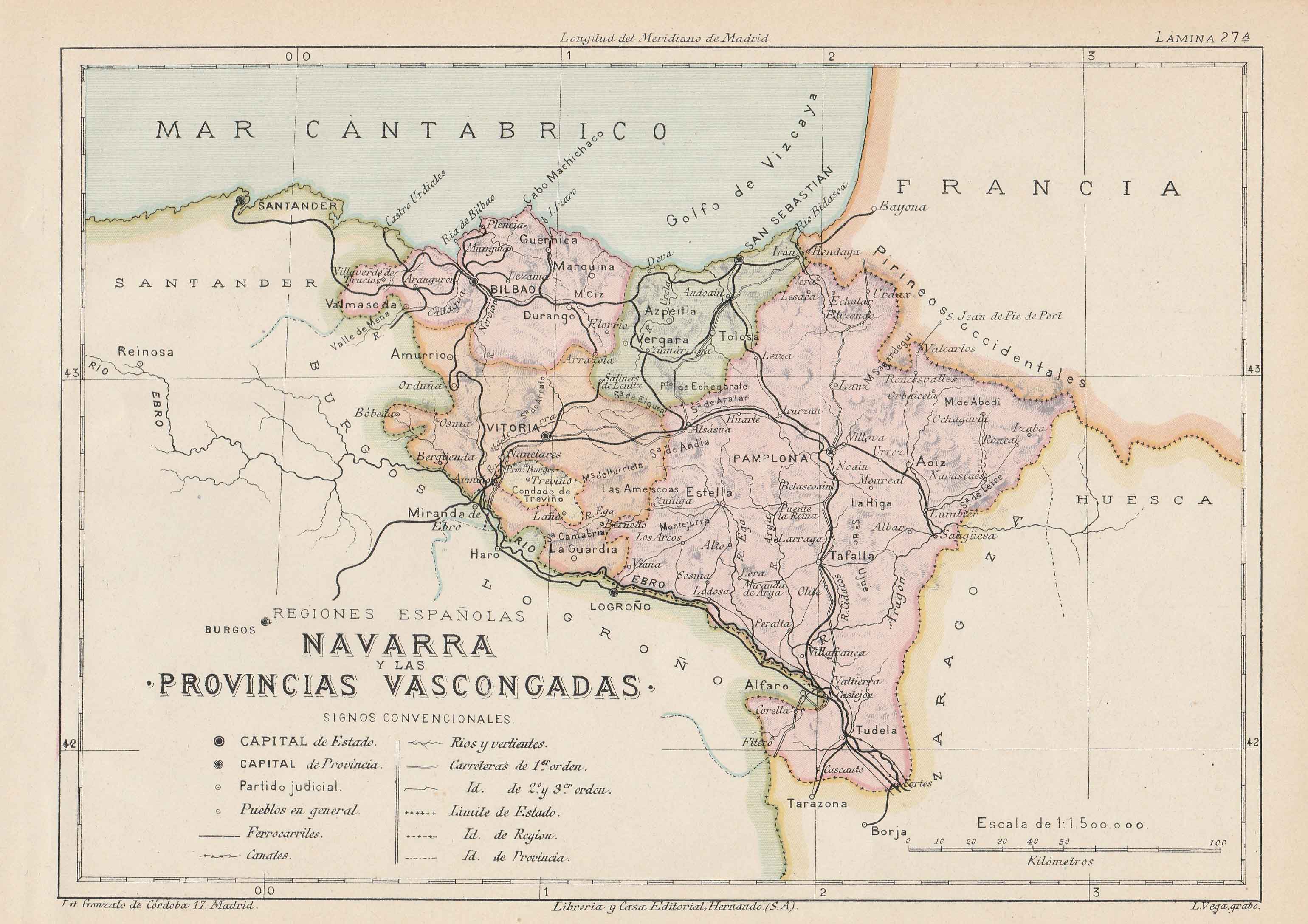
The inclusion of the four provinces in the same print of the average atlases with an educational orientation come as no surprise during the first third of the 20th century. Both the Atlas Vergara and the Mapas Mudos (Blank Maps) of this author feature the same type of presentation.
![Evropa Prima Nova Tabvla [Sebastian Münster][Henricus Petri][Basilea] [1540]](https://imagovasconiae.eus/wp-content/uploads/2024/03/10-1-300x169.jpg)
![[Mapamundia][Urbano Monti]EskuizkribuaMilan [1587]](https://imagovasconiae.eus/wp-content/uploads/2024/03/27-1-300x223.jpg)
![Tabula Europae II [Sebastian Münster][Henricus Petri][Basilea] [1540]](https://imagovasconiae.eus/wp-content/uploads/2024/03/12-1-300x235.jpg)
![[Tabula II Europae][Laurent Fries][Joannes Grüninger][Estrasburgo] [1522]](https://imagovasconiae.eus/wp-content/uploads/2024/03/8-1-300x218.webp)
