

Description
Napoleonic Wars prompted updates in cartography. Based on Roussel (1730), the British Arrowsmith published a new map of the Pyrenees spanning the whole Basque Country.
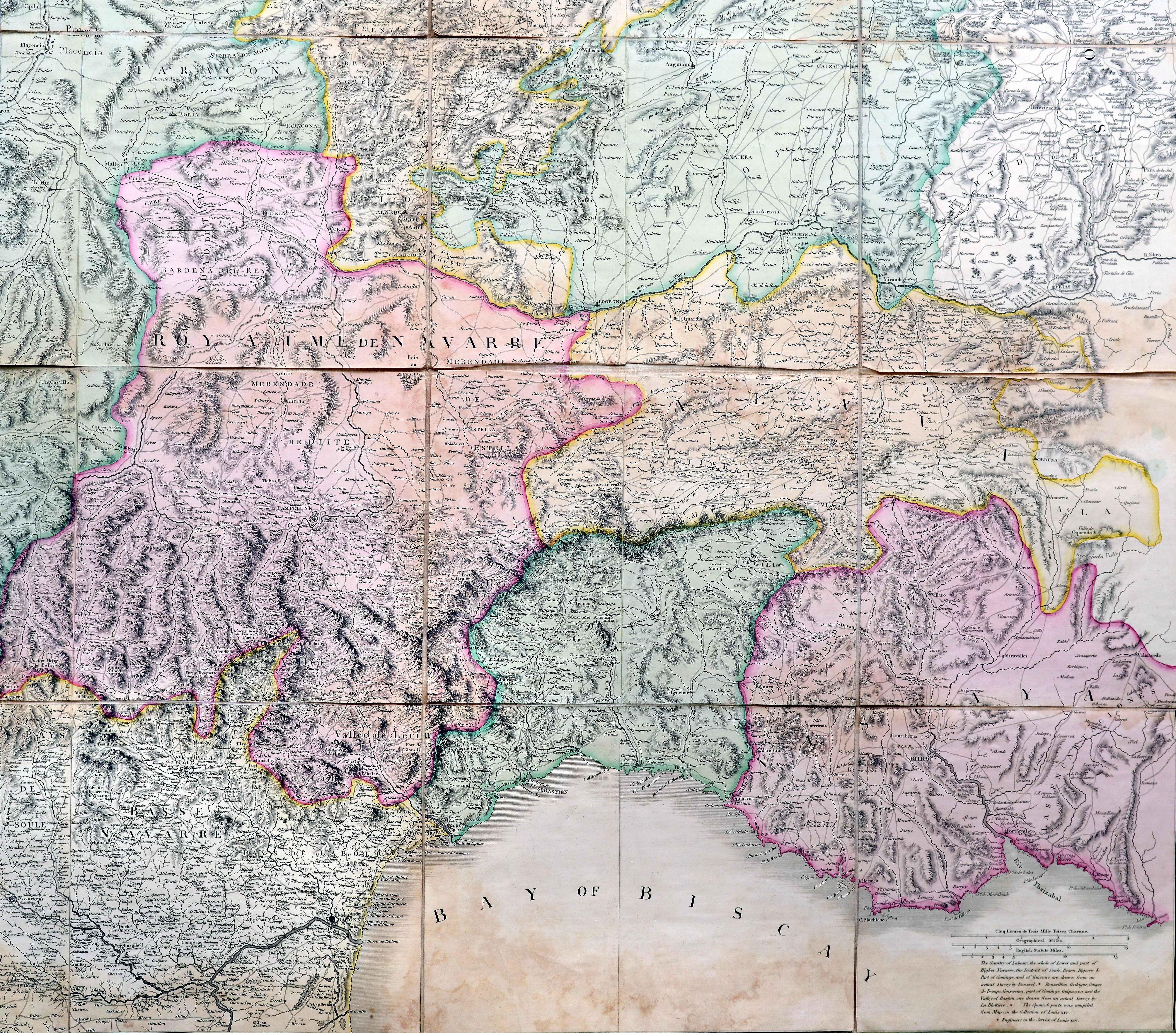
Napoleonic Wars prompted updates in cartography. Based on Roussel (1730), the British Arrowsmith published a new map of the Pyrenees spanning the whole Basque Country.
Esperientziarik onenak eskaintzeko, cookieak bezalako teknologiak erabiltzen ditugu gailuaren informazioa gordetzeko eta/edo eskuratzeko. Teknologia horien baimenarekin, nabigazio-portaera edo gune honetako identifikazio bakarrak bezalako datuak prozesatu ahal izango ditugu. Baimenik ez emateak edo baimena kentzeak eragin negatiboa izan dezake zenbait ezaugarri eta funtziotan.
Adding {{itemName}} to cart
Added {{itemName}} to cart
![De Hispania: Hispaniae descriptio secundumregna eius, prouincias fluuios & ciuitates[Sebastian Münster][Henricus Petri][Basilea] [1550 inguru]](https://imagovasconiae.eus/wp-content/uploads/2024/03/16-1-300x171.jpg)
![Tabu[la] Nova Hispaniae [Laurent Fries] [Miguel Servet][Melchor eta Gaspar Trechsel][Lyon] [1535]](https://imagovasconiae.eus/wp-content/uploads/2024/03/9-1-300x144.webp)
![[Europa/ Lehendabiziko Liburuko lehendabiziko panela][Johann Stumpf][Christoffel Froschouer][Zurich] [1548]](https://imagovasconiae.eus/wp-content/uploads/2024/03/15-1-300x232.jpg)
![[Iberiar Penintsulako eta Afrika Ipar-ekialdeko karta portulanoa] [Battista Agnese] Eskuizkribua [Venezia] [1553 inguru](https://imagovasconiae.eus/wp-content/uploads/2024/03/14-1-1-300x214.jpg)
