

Description
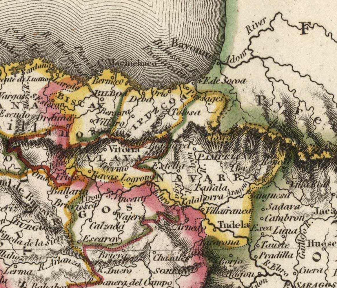
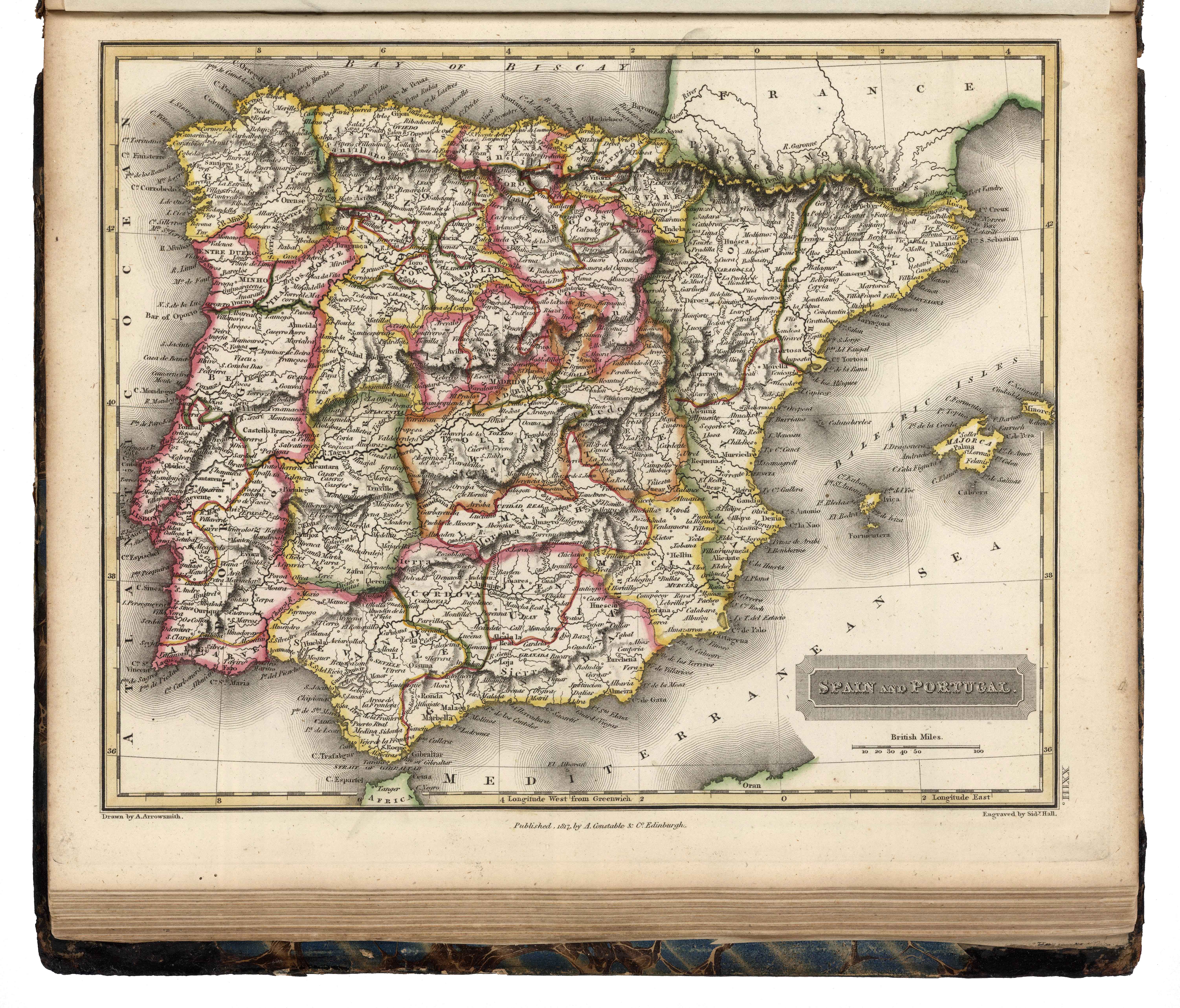
On the occasion of the Peninsular War, Aaron Arrowsmith produced this great map of the Pyrenean border, laying out an excellent picture of the whole Basque Country. In 1817, Arrowsmith published the Atlas Universal, integrating this map of the peninsular Basque Country under the same colour area.
![Tabula Europae II [Sebastian Münster][Henricus Petri][Basilea] [1540]](https://imagovasconiae.eus/wp-content/uploads/2024/03/12-1-300x235.jpg)
![Tabu[la] Nova Hispaniae [Laurent Fries] [Miguel Servet][Melchor eta Gaspar Trechsel][Lyon] [1535]](https://imagovasconiae.eus/wp-content/uploads/2024/03/9-1-300x144.webp)
![[Tabula II Europae][Laurent Fries][Joannes Grüninger][Estrasburgo] [1522]](https://imagovasconiae.eus/wp-content/uploads/2024/03/8-1-300x218.webp)
![[Mediterraneoko eta Atlantikoaren kostaldeko itsasbidea][Antonio Millo]Eskuizkribua[Venezia] [1583]](https://imagovasconiae.eus/wp-content/uploads/2024/03/23-1-300x194.jpg)
