

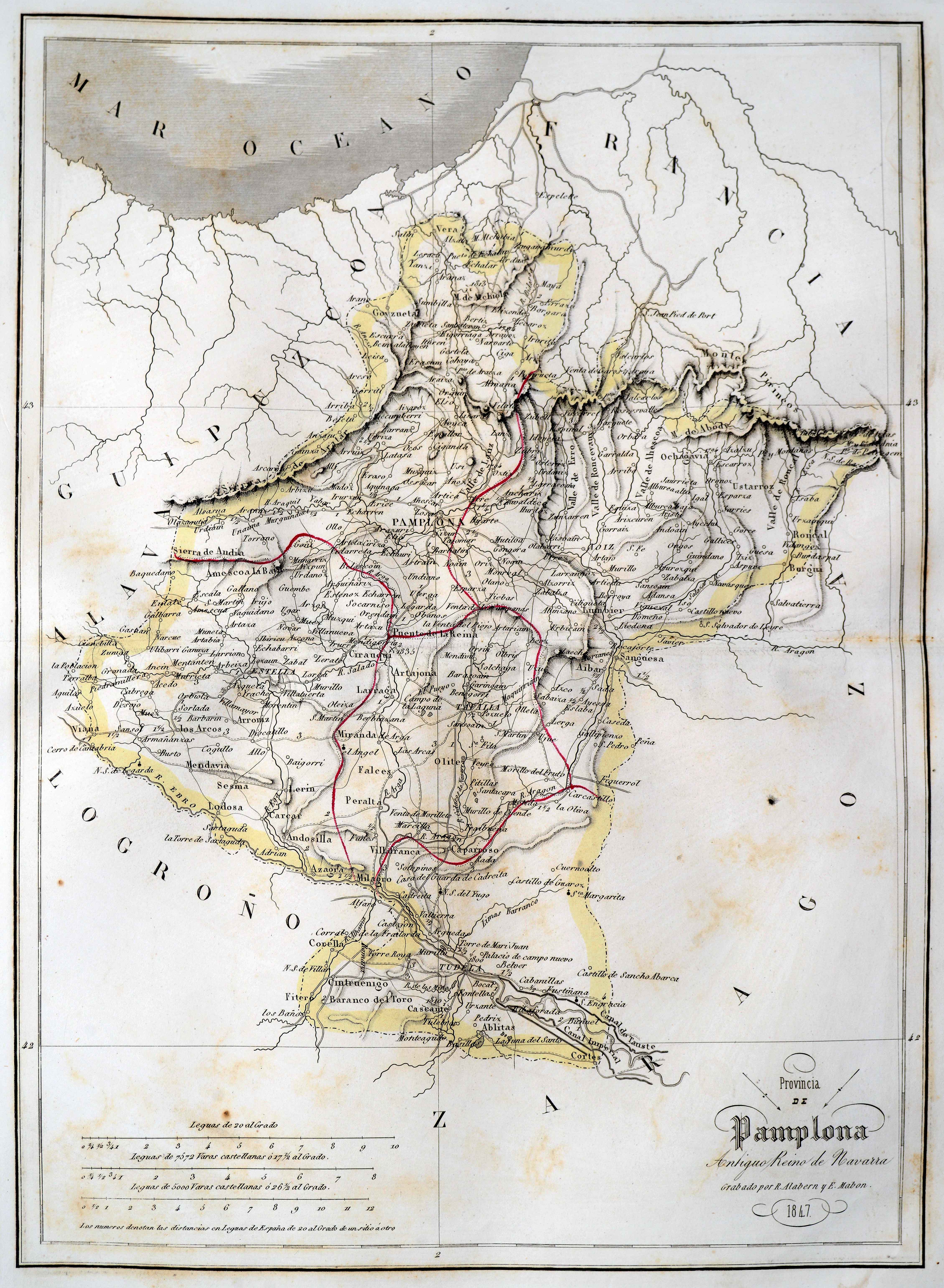
Description
The maps promoted by Elías were distributed as detached booklets, eventually released for sale as an overall work, starting 1850. The 1833 provincial arrangement saw the popularization of atlas editions conveying the new territorial reality. Navarre was not a a separate kingdom anymore, becoming instead a mere province. Elías’ work consisted of a series of highly meticulous wall maps, as the title notes, historic, geographic or statistical, acomppanied with maps. This map saw different editions, at least up to 1854.
![[Europa/ Lehendabiziko Liburuko lehendabiziko panela][Johann Stumpf][Christoffel Froschouer][Zurich] [1548]](https://imagovasconiae.eus/wp-content/uploads/2024/03/15-1-300x232.jpg)
![De Hispania: Hispaniae descriptio secundumregna eius, prouincias fluuios & ciuitates[Sebastian Münster][Henricus Petri][Basilea] [1550 inguru]](https://imagovasconiae.eus/wp-content/uploads/2024/03/16-1-300x171.jpg)
![[Tabula II Europae][Laurent Fries][Joannes Grüninger][Estrasburgo] [1522]](https://imagovasconiae.eus/wp-content/uploads/2024/03/8-1-300x218.webp)
