

Description
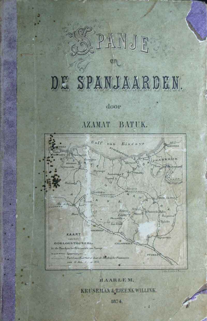
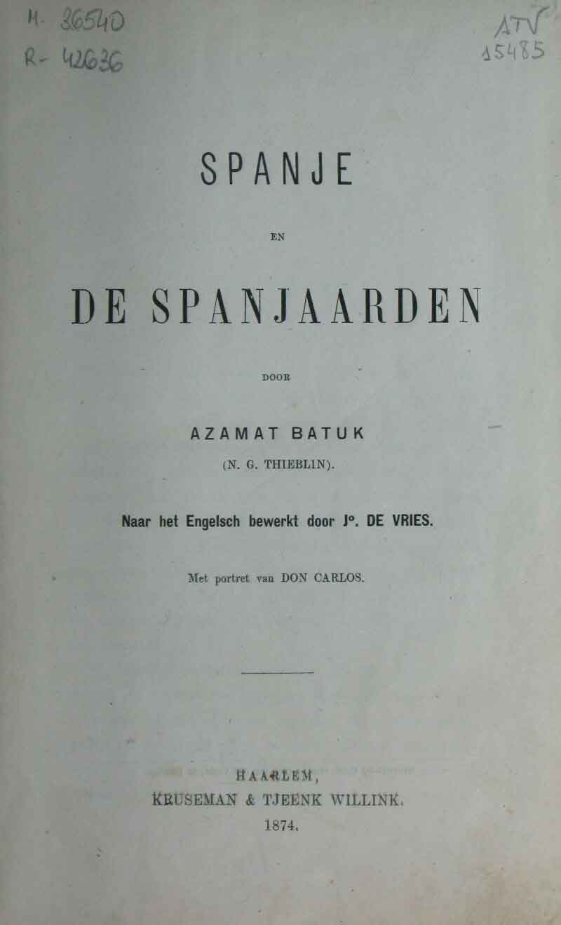
Two examples picked up from a myriad of them inserted in European publications of the period: in 1869, Anastase de Tandé published Campagnes et aventures d’un volontaire royaliste en Espagne with a map attached, and in 1874 Thieblin published Spanja en de Spanjaarden in Dutch, featuring a map on the cover of the “War Zone of the Basque Provinces in Spain”.
![Hispaniae Nova Describtio.De Integro Multis inLocis, SecundumHydrographicas, Desc. Emendata[Mercator-Hondius]Jodocus HondiusAmsterdam [1606]](https://imagovasconiae.eus/wp-content/uploads/2024/03/31-1-300x213.jpg)
![[Iberiar Penintsulako eta Afrika Ipar-ekialdeko karta portulanoa] [Battista Agnese] Eskuizkribua [Venezia] [1553 inguru](https://imagovasconiae.eus/wp-content/uploads/2024/03/14-1-1-300x214.jpg)
![[Tabula II Europae][Laurent Fries][Joannes Grüninger][Estrasburgo] [1522]](https://imagovasconiae.eus/wp-content/uploads/2024/03/6-1-300x182.webp)
![Tabula Europae II[Girolamo Ruscelli][Vincenzo Valgrisi][Venezia] [1561]](https://imagovasconiae.eus/wp-content/uploads/2024/03/18-1-300x220.jpg)
