

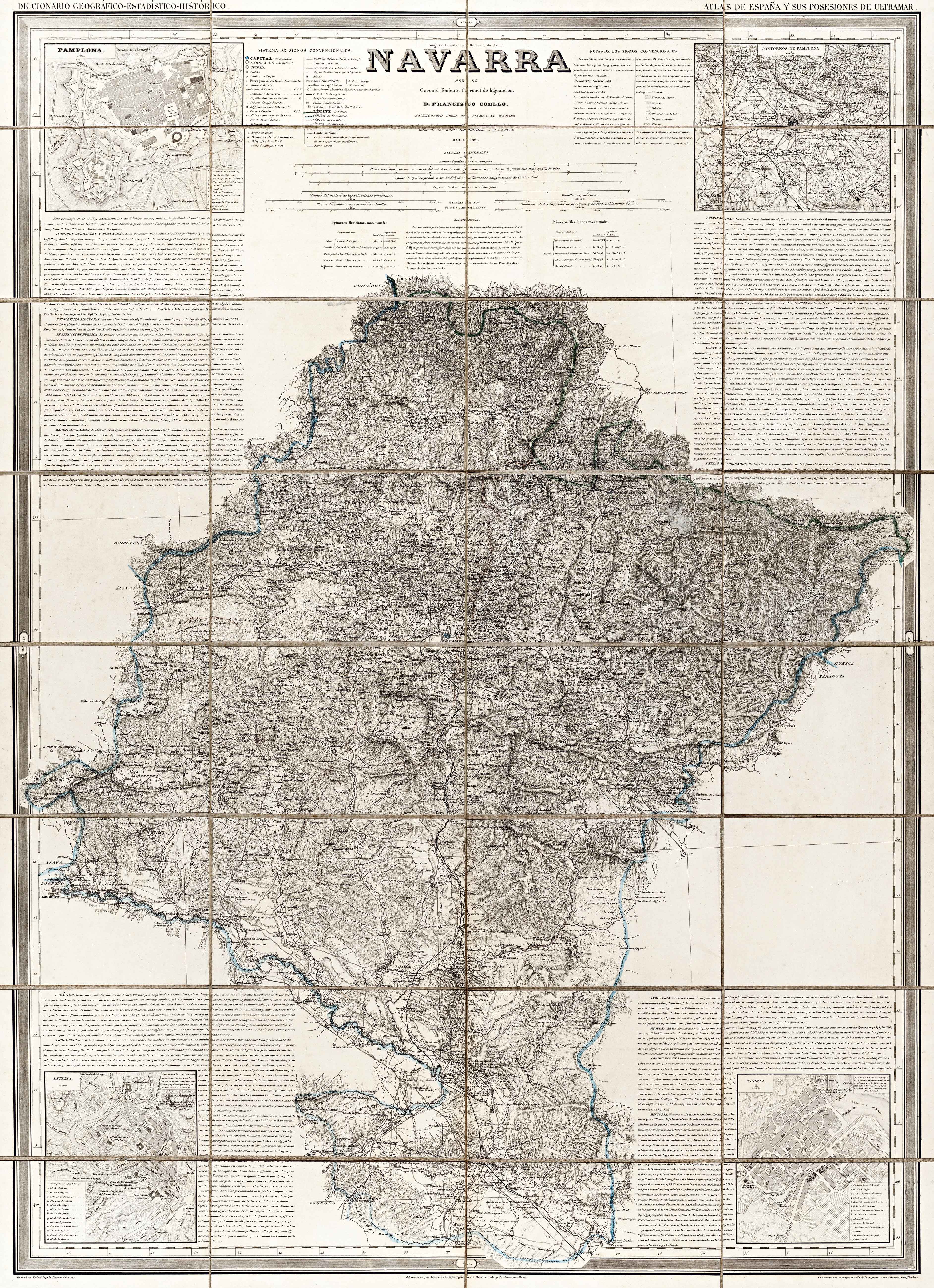
Description
Between 1847 and 1870, Francisco Coello published an Atlas de España in loose sheets with a view to contributing to the Diccionario Geográfico of the Navarrese Pascual Madoz. Despite remaining incomplete, between 1848 and 1861 loose maps of the four Peninsular Basque territories were released, drawn up on a scientific basis and on-site mathematic measuring. The maps featured insets with plans of the most relevant urban areas.
![[Espainia][Diogo Homen]Eskuizkribualeku gabe [1559]](https://imagovasconiae.eus/wp-content/uploads/2024/03/22-1-300x224.jpg)
![HispaniaEg. g.Arg. g[XVI. mendea]](https://imagovasconiae.eus/wp-content/uploads/2024/03/5-1-300x246.webp)
![Tab II Europae/Hispaniam ac Lusitaniam[Gerard Mercator][G. Kempen][Kolonia] [1578]](https://imagovasconiae.eus/wp-content/uploads/2024/03/21-1-300x231.jpg)
![[Tabula II Europae][Laurent Fries][Joannes Grüninger][Estrasburgo] [1522]](https://imagovasconiae.eus/wp-content/uploads/2024/03/8-1-300x218.webp)
