

Description
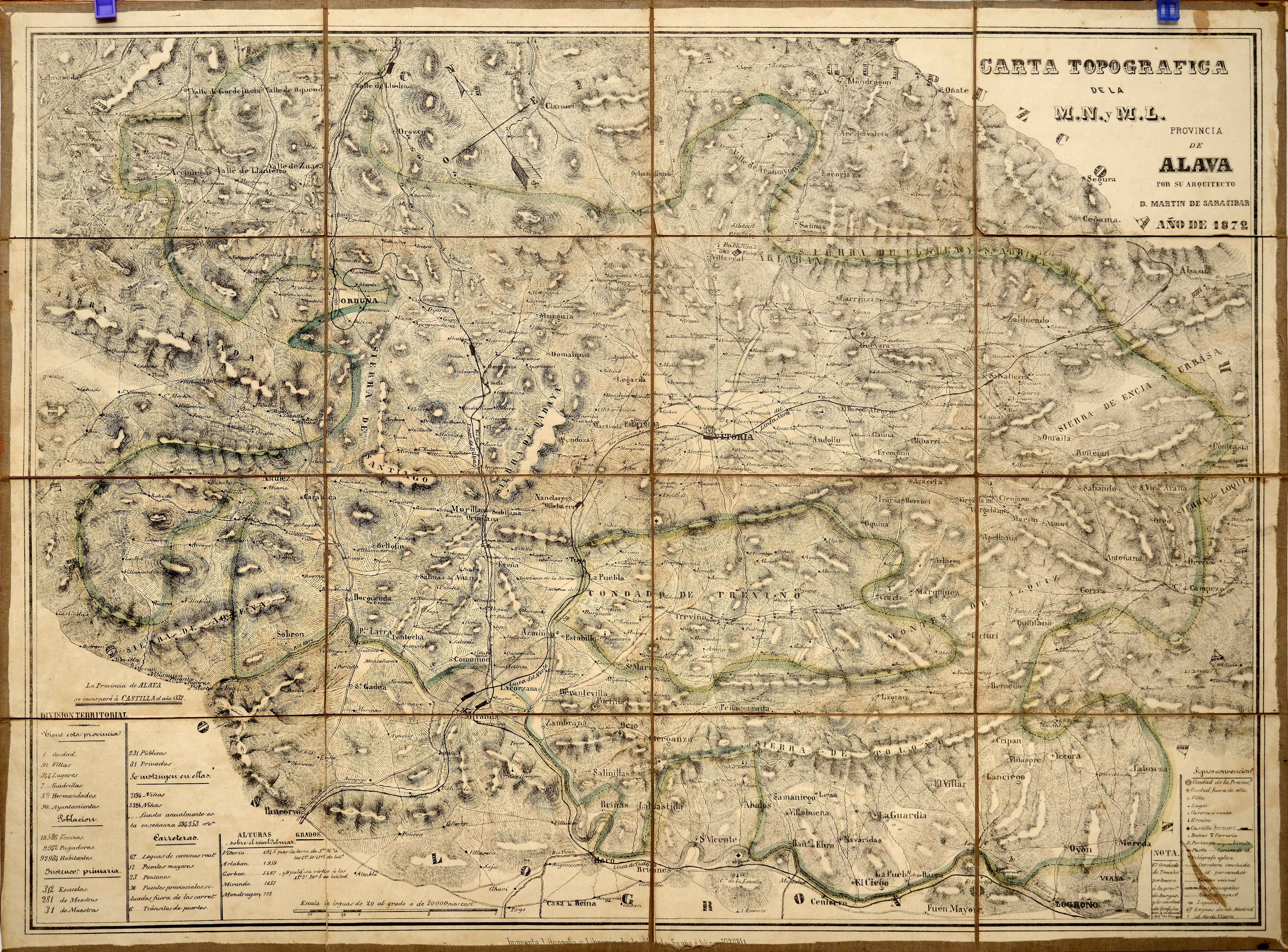
The first printed maps promoted by natives were not printed until the first half of the 19th century in the cases of Gipuzkoa, Biscay and Alava. Navarre, however, thanks to Josep de Horta, from Tafalla, had a magnificent copy as early as 1724.
![Tab II Europae/Hispaniam ac Lusitaniam[Gerard Mercator][G. Kempen][Kolonia] [1578]](https://imagovasconiae.eus/wp-content/uploads/2024/03/21-1-300x231.jpg)
![Regni Hispaniae postomnium editioneslocupletissima descriptio[Abraham Ortelius]arg. g.[Anberes] [1570]](https://imagovasconiae.eus/wp-content/uploads/2024/03/19-1-300x223.jpg)
![Europa, das ein drittheil der erden, nach gelegenheit unserer zeit beschrieben[Sebastian Münster][Henricus Petri][Basilea] [1588]](https://imagovasconiae.eus/wp-content/uploads/2024/03/11-1-300x168.jpg)
![Europa[Ephraim Pagitt][J. Okes][Londres] [1635]](https://imagovasconiae.eus/wp-content/uploads/2024/03/40-1-300x222.jpg)
