

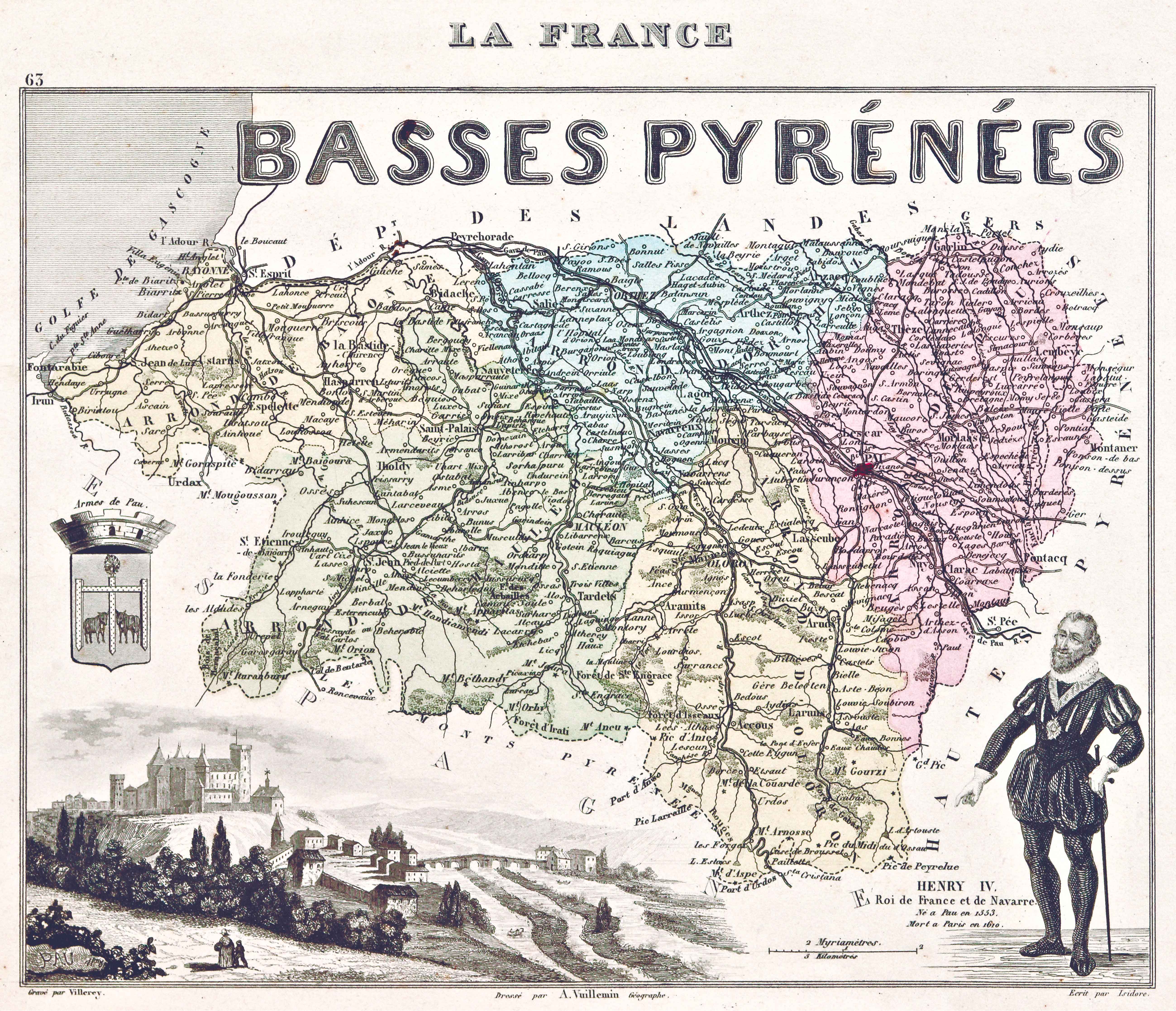
Description
In about 1850, a number of authors, e.g. Levasseur, Vuillemin and Migeon, initiated the publication of the Atlas of the French Departments, accompanying it with historic news and statistics that enhanced the information provided by bare cartographic material.
![Evropa Prima Nova Tabvla [Sebastian Münster][Henricus Petri][Basilea] [1540]](https://imagovasconiae.eus/wp-content/uploads/2024/03/10-1-300x169.jpg)
![[Mapamundia][Matteo Ricci]argitaletxerikgabe[Beijing] [1602]](https://imagovasconiae.eus/wp-content/uploads/2024/03/30-1-300x147.jpg)
![Europa, das ein drittheil der erden, nach gelegenheit unserer zeit beschrieben[Sebastian Münster][Henricus Petri][Basilea] [1588]](https://imagovasconiae.eus/wp-content/uploads/2024/03/11-1-300x168.jpg)
