

Description
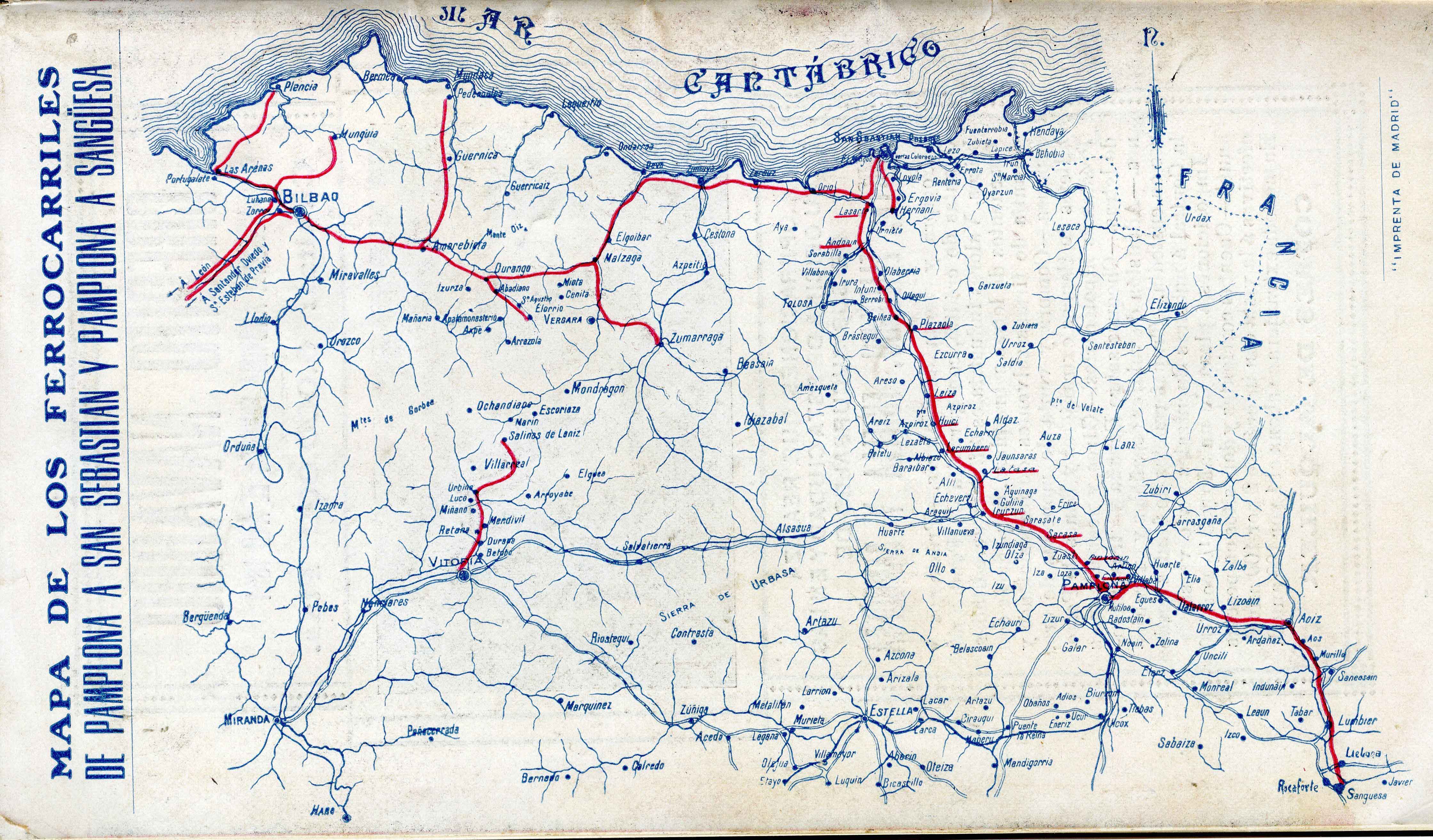
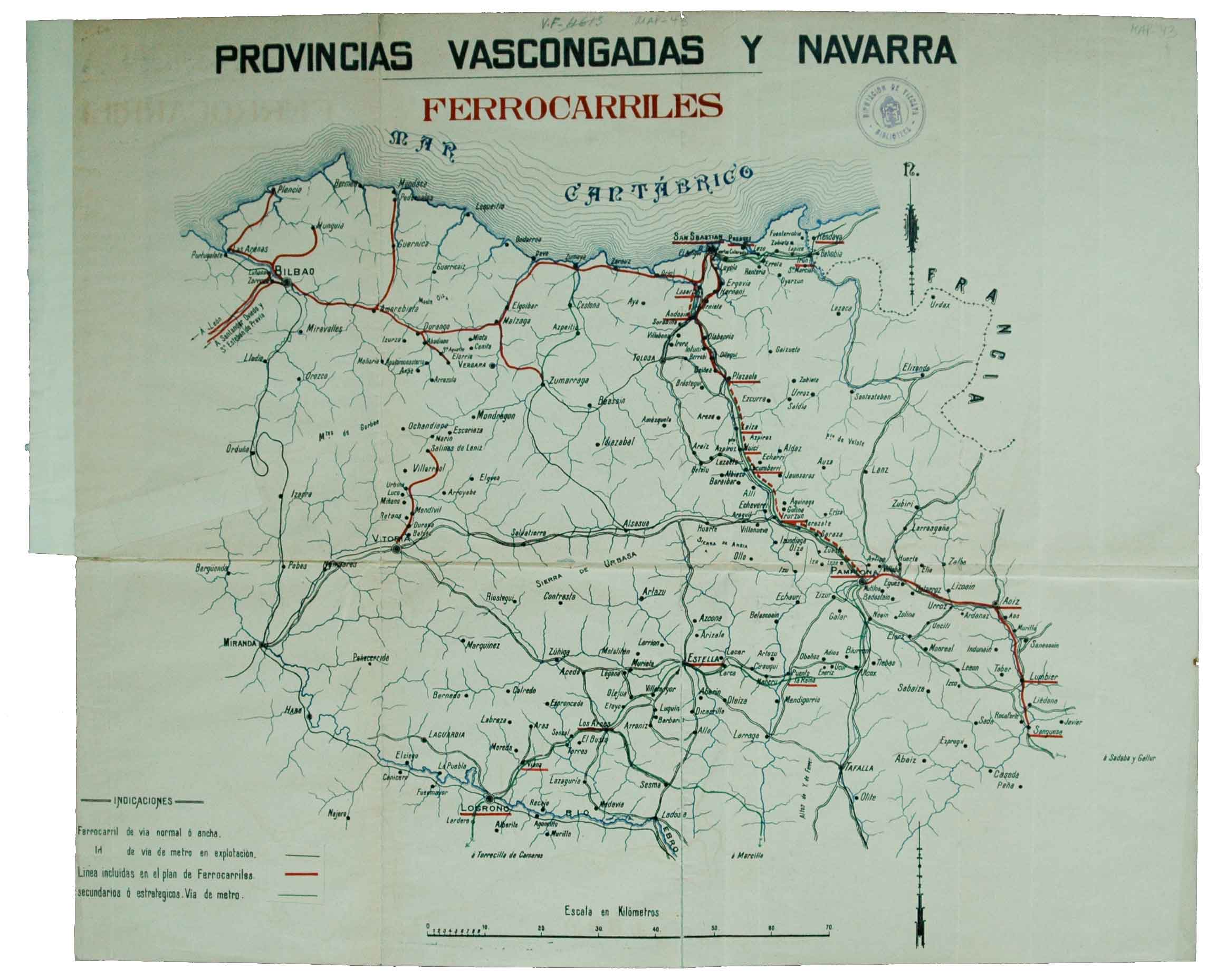
The railway maps earned enormous popularity in the late 19th century. The particular development of this means of transportation in the Basque context including Navarre paved the grounds for the emergence of partial maps of the Basque area. They provided details of both routes and stations.
![Tab II Europae/Hispaniam ac Lusitaniam[Gerard Mercator][G. Kempen][Kolonia] [1578]](https://imagovasconiae.eus/wp-content/uploads/2024/03/21-1-300x231.jpg)
![[Mapamundia][Urbano Monti]EskuizkribuaMilan [1587]](https://imagovasconiae.eus/wp-content/uploads/2024/03/27-1-300x223.jpg)
![Tabula Europae II [Sebastian Münster][Henricus Petri][Basilea] [1540]](https://imagovasconiae.eus/wp-content/uploads/2024/03/12-1-300x235.jpg)
![[Mediterraneoko eta Atlantikoaren kostaldeko itsasbidea][Plácido Caloiro y Oliva]Eskuizkribual.g. [16-–]](https://imagovasconiae.eus/wp-content/uploads/2024/03/24-1-300x154.jpg)
