

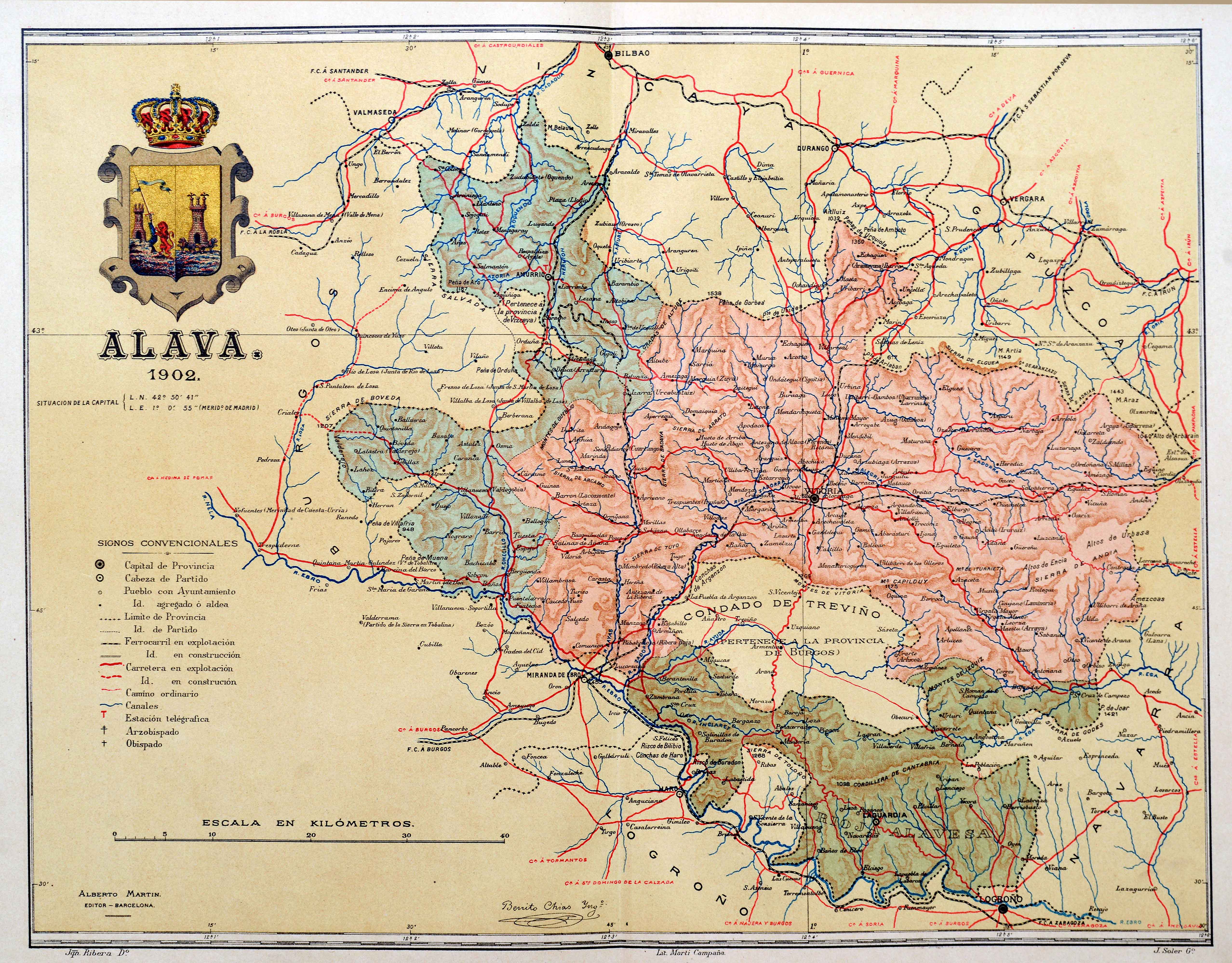
Description
The Catalan Alberto Martín and his publishing house were the great editors of Spanish provincial atlases in the first half of the 20th century. First, by providing provincial maps and, later, by featuring population maps with photographic detail, Martín contributed to the democratisation of this type of cartographic material.
![[Hispania]Paulo di ForlaniF. Bertelli[Venezia] [1560 inguru]](https://imagovasconiae.eus/wp-content/uploads/2024/03/17-1-300x252.jpg)
![[Mediterraneoko eta Atlantikoaren kostaldeko itsasbidea][Antonio Millo]Eskuizkribua[Venezia] [1583]](https://imagovasconiae.eus/wp-content/uploads/2024/03/23-1-300x194.jpg)
![[Mapamundia][Matteo Ricci]argitaletxerikgabe[Beijing] [1602]](https://imagovasconiae.eus/wp-content/uploads/2024/03/30-1-300x147.jpg)
![Regni Hispaniae postomnium editioneslocupletissima descriptio[Abraham Ortelius]arg. g.[Anberes] [1570]](https://imagovasconiae.eus/wp-content/uploads/2024/03/19-1-300x223.jpg)
