

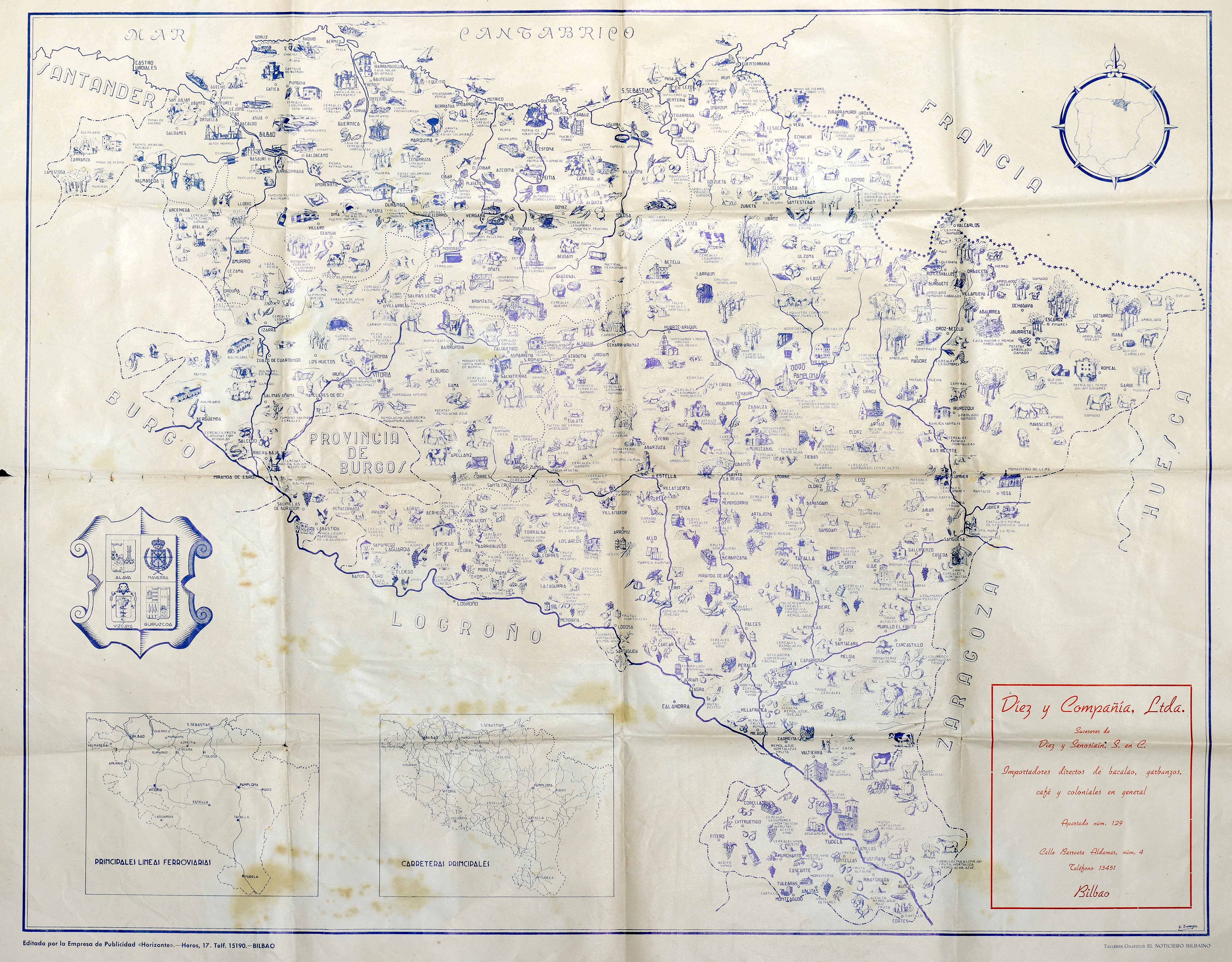
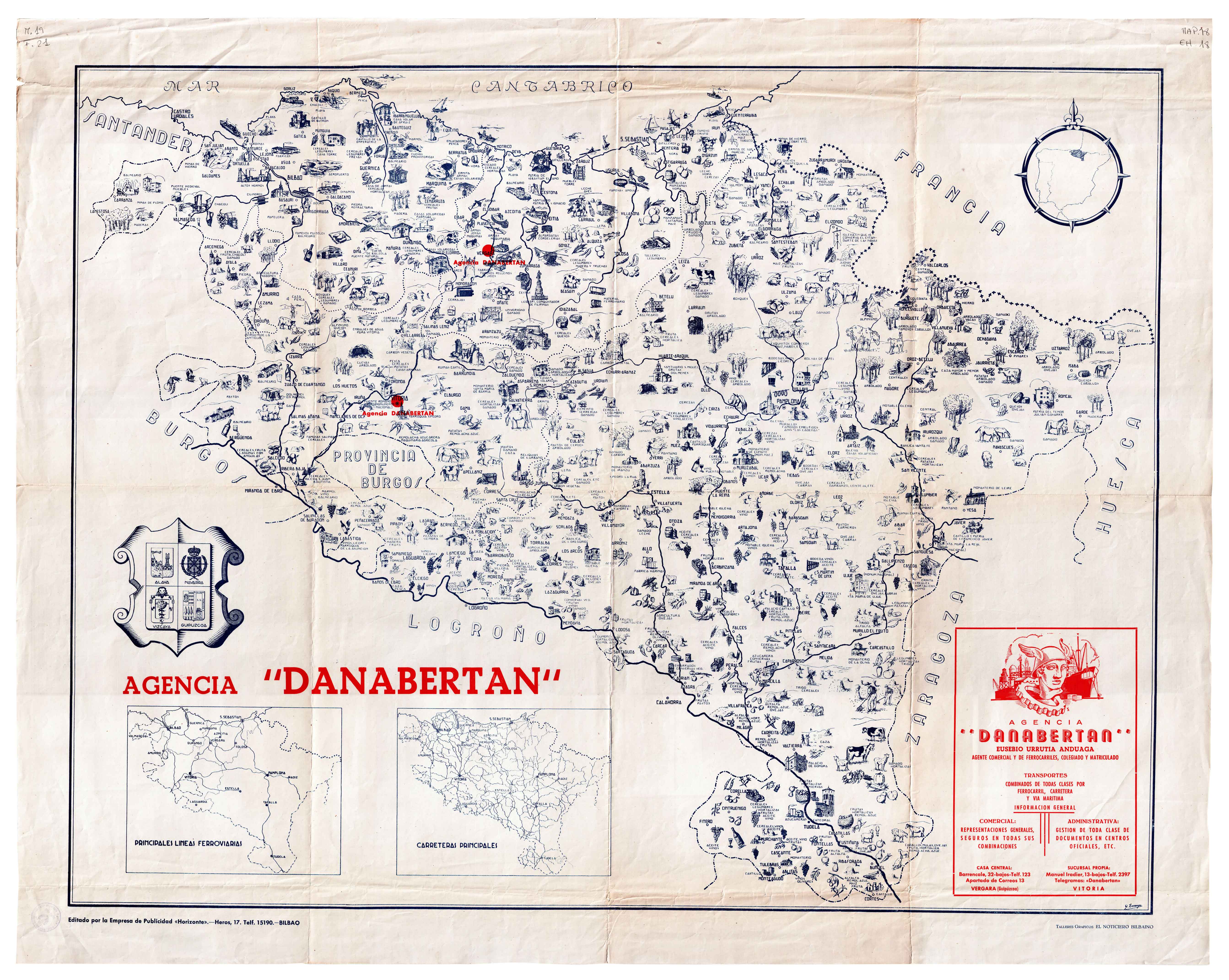
Description
Cartography and advertising are related throughout the 20th century. In the middle of the century, maps of the Basque Country were published, illustrating both historical and productive elements, and facilitating the insertion of industrial publicity.
![[Tabula II Europae][Laurent Fries][Joannes Grüninger][Estrasburgo] [1522]](https://imagovasconiae.eus/wp-content/uploads/2024/03/6-1-300x182.webp)
![Regni Hispaniae postomnium editioneslocupletissima descriptio[Abraham Ortelius]arg. g.[Anberes] [1570]](https://imagovasconiae.eus/wp-content/uploads/2024/03/19-1-300x223.jpg)
![Tabu[la] Nova Hispaniae [Laurent Fries] [Miguel Servet][Melchor eta Gaspar Trechsel][Lyon] [1535]](https://imagovasconiae.eus/wp-content/uploads/2024/03/9-1-300x144.webp)
![HispaniaEg. g.Arg. g[XVI. mendea]](https://imagovasconiae.eus/wp-content/uploads/2024/03/5-1-300x246.webp)
