

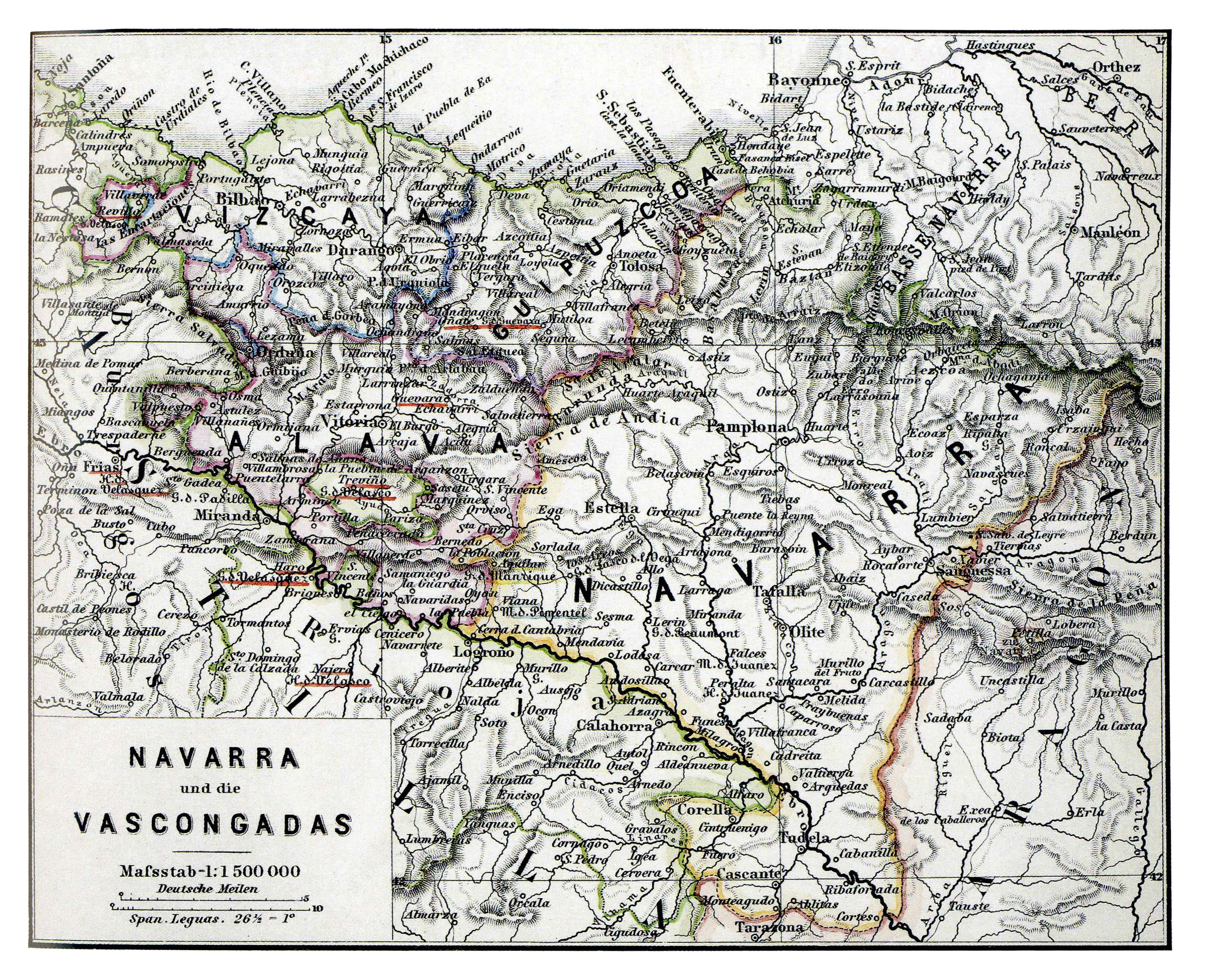
Description
Since the mid-19th century, Karl Spruner published his famous historic atlas, taking away from the French school a leadership they boasted about up to that point. Among the seven maps published in the first edition devoted to Spain, the 16th-century one included an inset of “Navarra y Vascongadas”.
![[Mediterraneoko eta Atlantikoaren kostaldeko itsasbidea][Plácido Caloiro y Oliva]Eskuizkribual.g. [16-–]](https://imagovasconiae.eus/wp-content/uploads/2024/03/24-1-300x154.jpg)
![[Espainia][Diogo Homen]Eskuizkribualeku gabe [1559]](https://imagovasconiae.eus/wp-content/uploads/2024/03/22-1-300x224.jpg)
![Evropa Prima Nova Tabvla [Sebastian Münster][Henricus Petri][Basilea] [1540]](https://imagovasconiae.eus/wp-content/uploads/2024/03/10-1-300x169.jpg)
![[Mapamundia][Urbano Monti]EskuizkribuaMilan [1587]](https://imagovasconiae.eus/wp-content/uploads/2024/03/27-1-300x223.jpg)
