

Description
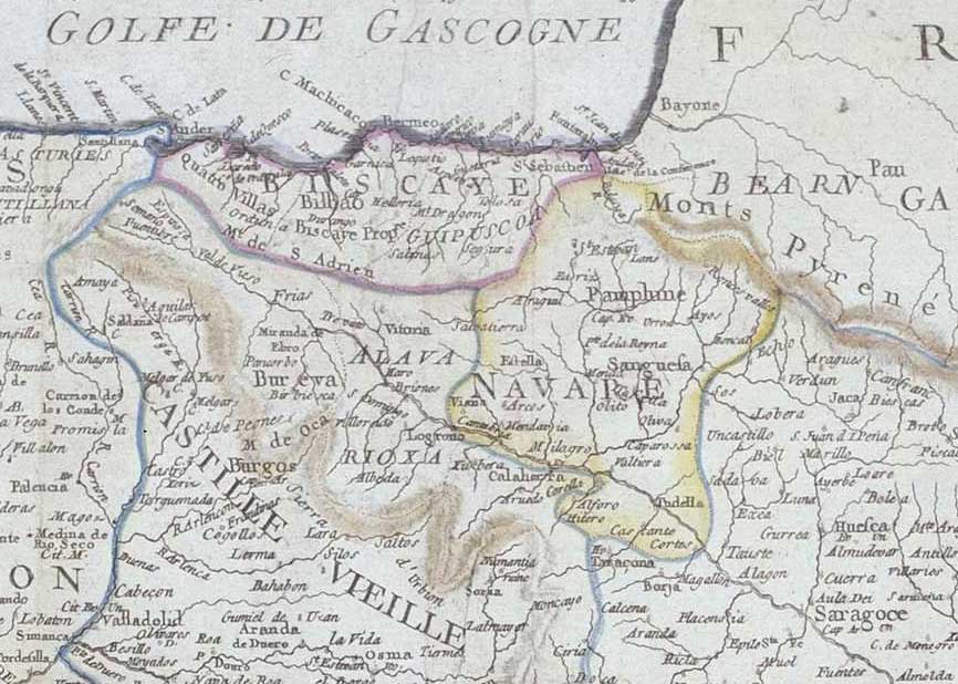
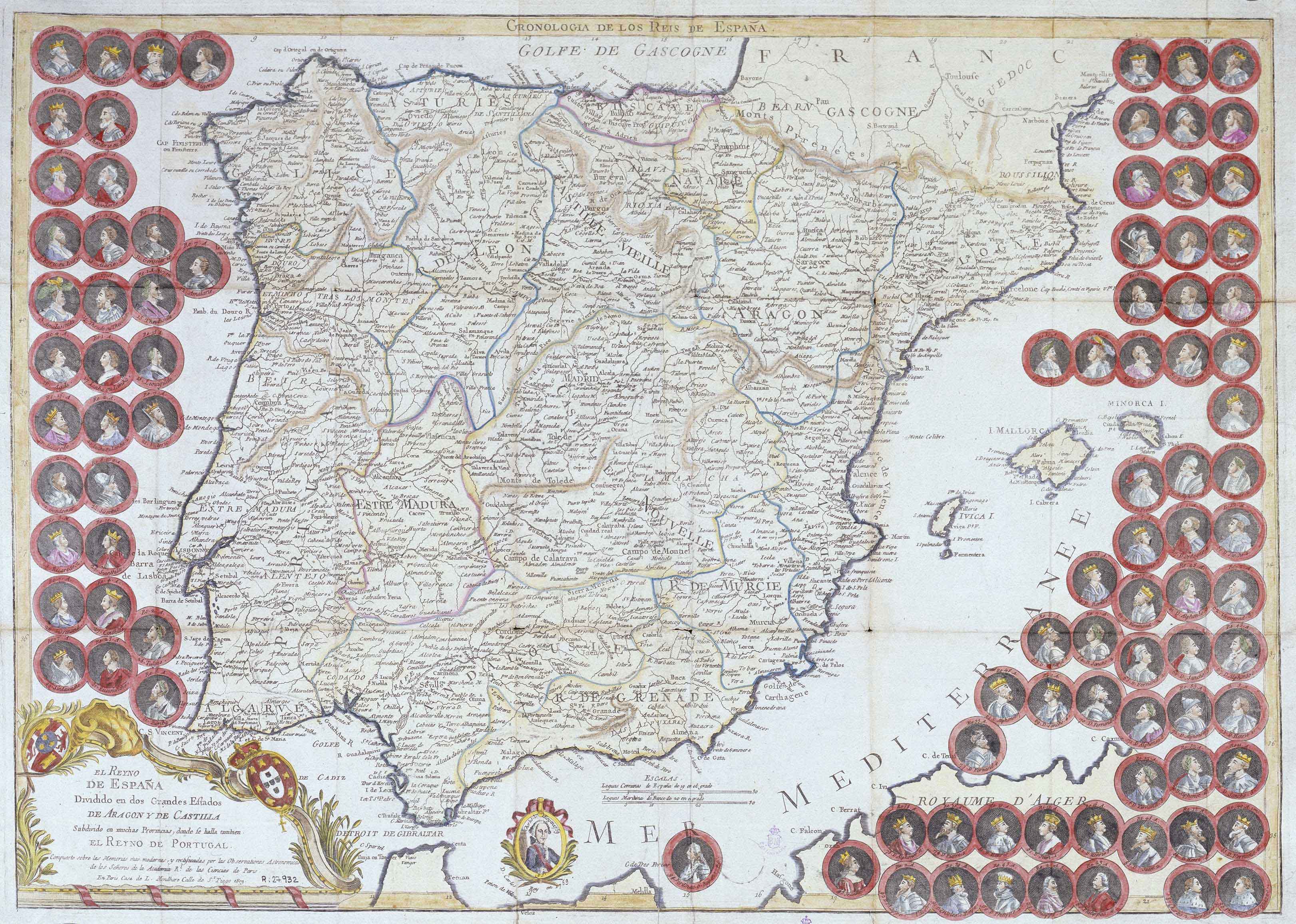
This map of Spain listing the busts of up to 95 monarchs issued by the cartographer Louis-Joseph Mondhare saw its first publication in 1772. “Biscaye” spanns from Santander (“San Ander”) to Hondarribia (“Fuenterrabia”), but it does not capture Alava. The continental Basque Country is presented simply as Bearn.
![Tabula Europae II[Girolamo Ruscelli][Vincenzo Valgrisi][Venezia] [1561]](https://imagovasconiae.eus/wp-content/uploads/2024/03/18-1-300x220.jpg)
![[Europa][Heinrich Bünting][Z. Krafft][Wittenberg] [1587 inguru]](https://imagovasconiae.eus/wp-content/uploads/2024/03/28-1-300x214.jpg)
![HispaniaEg. g.Arg. g[XVI. mendea]](https://imagovasconiae.eus/wp-content/uploads/2024/03/5-1-300x246.webp)
![[Tabula II Europae][Laurent Fries][Joannes Grüninger][Estrasburgo] [1522]](https://imagovasconiae.eus/wp-content/uploads/2024/03/8-1-300x218.webp)
