

Description
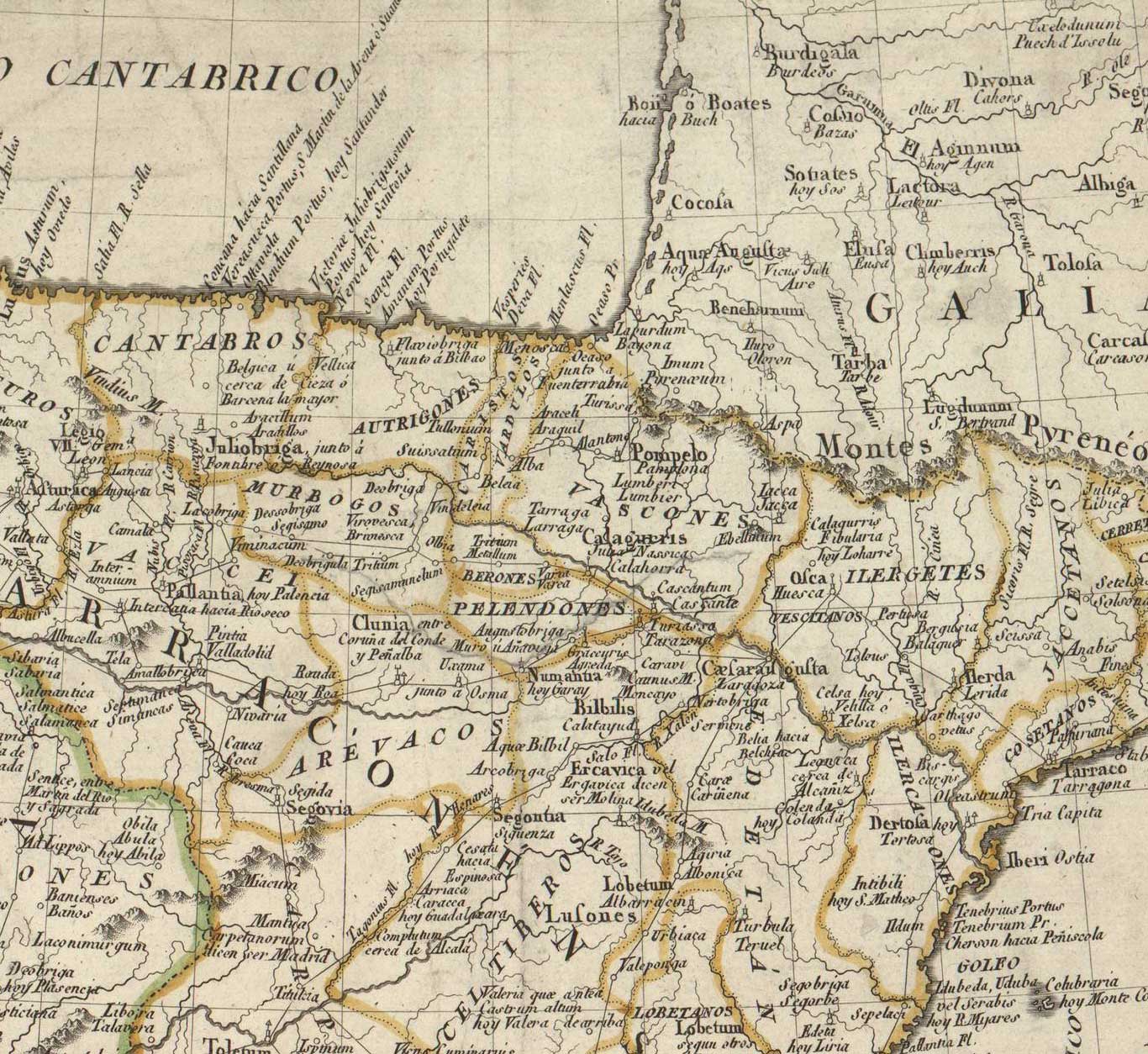
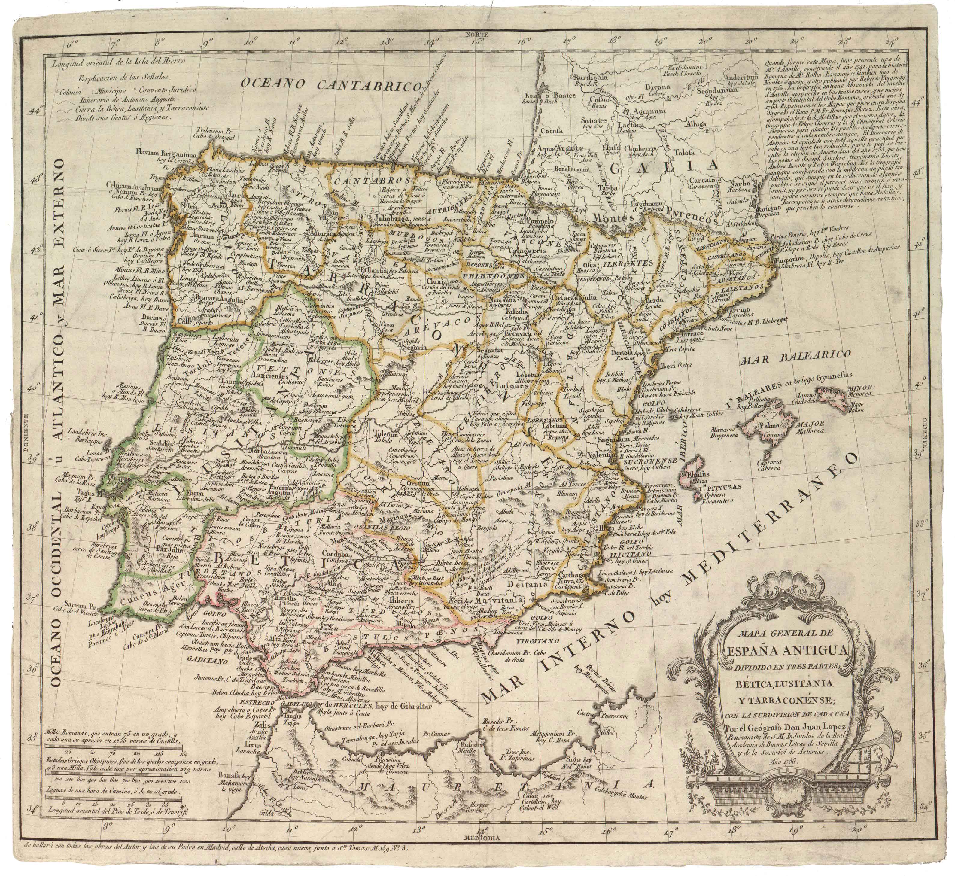
Geographer Juan López, Tomás’ offspring, delivered this printed historic map of Roman Hispania based on a variety of sources (Florez, D’Anville, Cluverio, etc.), yielding a meticulous presentation of the area inhabited by the “Vascones, Várdulos, Caristios y Autrigones”. The map was printed again with no date specification up to 1844.
![Europa, das ein drittheil der erden, nach gelegenheit unserer zeit beschrieben[Sebastian Münster][Henricus Petri][Basilea] [1588]](https://imagovasconiae.eus/wp-content/uploads/2024/03/11-1-300x168.jpg)
![[Mapamundia][Urbano Monti]EskuizkribuaMilan [1587]](https://imagovasconiae.eus/wp-content/uploads/2024/03/27-1-300x223.jpg)
![[Europa/ Lehendabiziko Liburuko lehendabiziko panela][Johann Stumpf][Christoffel Froschouer][Zurich] [1548]](https://imagovasconiae.eus/wp-content/uploads/2024/03/15-1-300x232.jpg)
![Tabu[la] Nova Hispaniae [Laurent Fries] [Miguel Servet][Melchor eta Gaspar Trechsel][Lyon] [1535]](https://imagovasconiae.eus/wp-content/uploads/2024/03/9-1-300x144.webp)
