

Description
Cassini, prime example of Italian cartography during the second half of the 18th century, included this map of the northern Iberian Peninsula in his great Atlas, paying special attention to the Merindad de Ultrapuertos, or Lower Navarre.
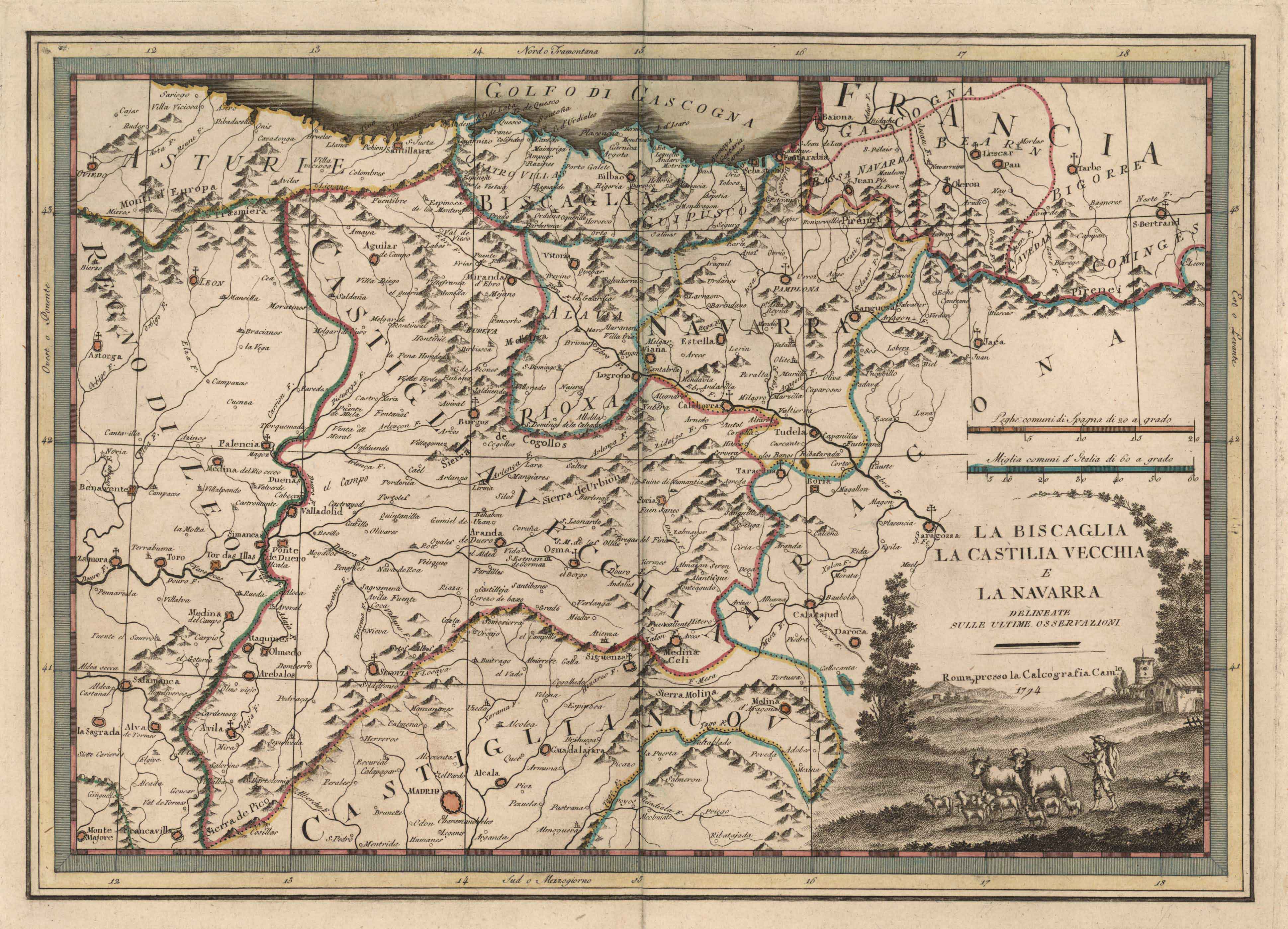
Cassini, prime example of Italian cartography during the second half of the 18th century, included this map of the northern Iberian Peninsula in his great Atlas, paying special attention to the Merindad de Ultrapuertos, or Lower Navarre.
Esperientziarik onenak eskaintzeko, cookieak bezalako teknologiak erabiltzen ditugu gailuaren informazioa gordetzeko eta/edo eskuratzeko. Teknologia horien baimenarekin, nabigazio-portaera edo gune honetako identifikazio bakarrak bezalako datuak prozesatu ahal izango ditugu. Baimenik ez emateak edo baimena kentzeak eragin negatiboa izan dezake zenbait ezaugarri eta funtziotan.
Adding {{itemName}} to cart
Added {{itemName}} to cart
![Tab II Europae/Hispaniam ac Lusitaniam[Gerard Mercator][G. Kempen][Kolonia] [1578]](https://imagovasconiae.eus/wp-content/uploads/2024/03/21-1-300x231.jpg)
![[Mapamundia][Matteo Ricci]argitaletxerikgabe[Beijing] [1602]](https://imagovasconiae.eus/wp-content/uploads/2024/03/30-1-300x147.jpg)
![Tabu[la] Nova Hispaniae [Laurent Fries] [Miguel Servet][Melchor eta Gaspar Trechsel][Lyon] [1535]](https://imagovasconiae.eus/wp-content/uploads/2024/03/9-1-300x144.webp)
![[Tabula II Europae][Laurent Fries][Joannes Grüninger][Estrasburgo] [1522]](https://imagovasconiae.eus/wp-content/uploads/2024/03/8-1-300x218.webp)
