

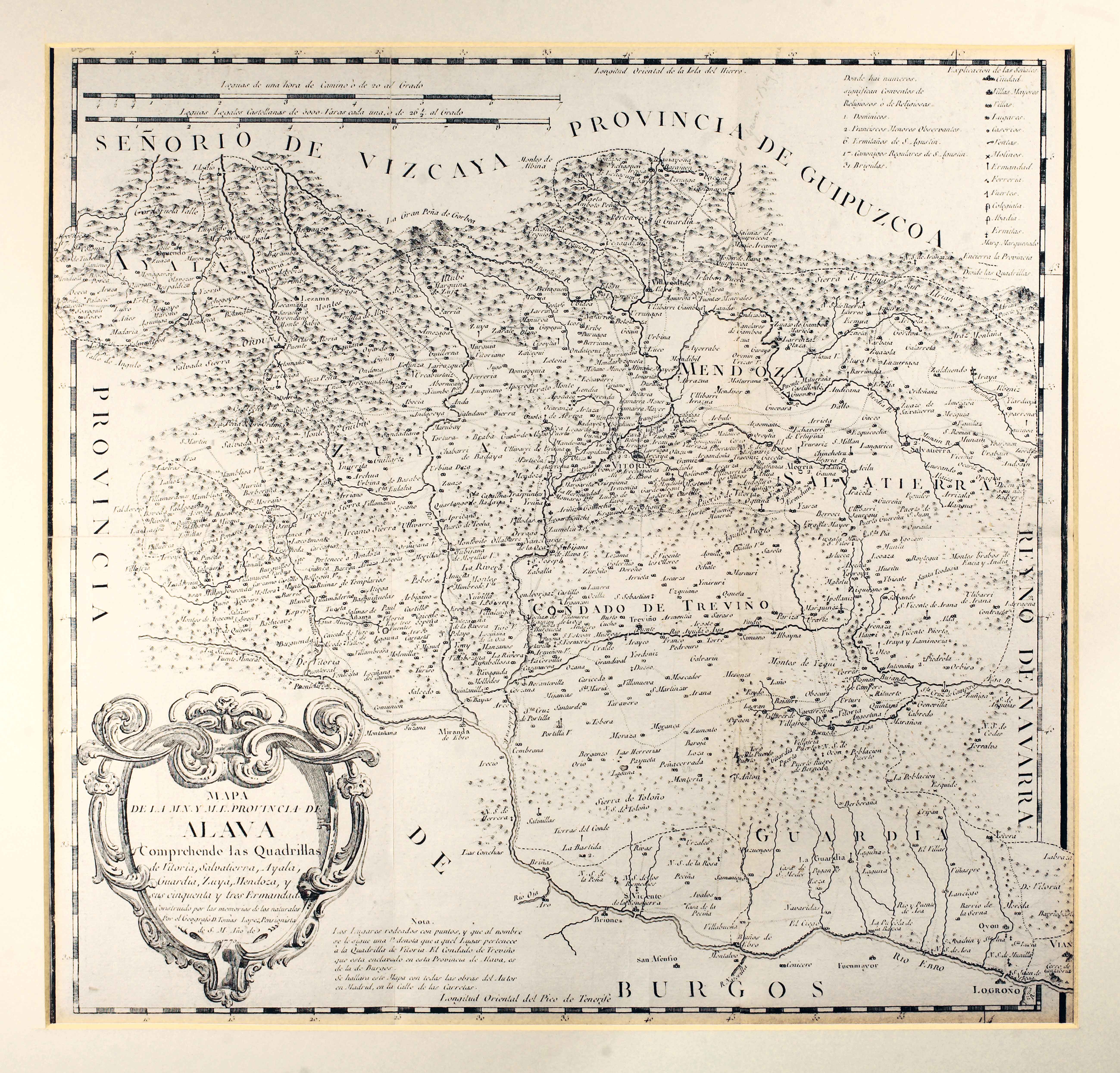
Description
Tomás López, who eventually joined the Royal Basque Society of Friends of the Country, published this map of Alava based on the answers delivered by locals (mayors, parish priests…) in a detailed questionaire. Additionally, requested the informants to draw a sketch of the area surrounding their village or town. It was reedited without a mention to its date integrated into different atlases until the year 1845.
![Tabula Europae II[Girolamo Ruscelli][Vincenzo Valgrisi][Venezia] [1561]](https://imagovasconiae.eus/wp-content/uploads/2024/03/18-1-300x220.jpg)
![[Hispania]Paulo di ForlaniF. Bertelli[Venezia] [1560 inguru]](https://imagovasconiae.eus/wp-content/uploads/2024/03/17-1-300x252.jpg)
![Europa[Ephraim Pagitt][J. Okes][Londres] [1635]](https://imagovasconiae.eus/wp-content/uploads/2024/03/40-1-300x222.jpg)
![HispaniaEg. g.Arg. g[XVI. mendea]](https://imagovasconiae.eus/wp-content/uploads/2024/03/5-1-300x246.webp)
