

Description
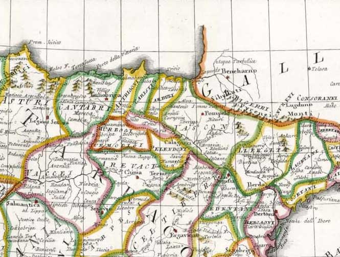
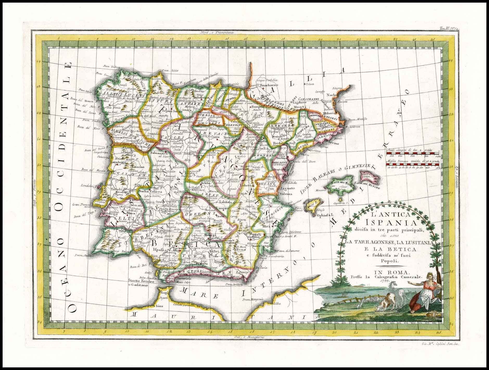
During the Century of The Lights, education saw an important development. Cartography did not change its primary military orientation, but the number of maps with a scientific and educational vocation increased. A number of them were devoted to history. We intend to show a variety of them, fashioned in England, France, Italy and Spain, showing the perception they held on our territory back in ancient Europe.
![[Europa/ Lehendabiziko Liburuko lehendabiziko panela][Johann Stumpf][Christoffel Froschouer][Zurich] [1548]](https://imagovasconiae.eus/wp-content/uploads/2024/03/15-1-300x232.jpg)
![[Mediterraneoko eta Atlantikoaren kostaldeko itsasbidea][Antonio Millo]Eskuizkribua[Venezia] [1583]](https://imagovasconiae.eus/wp-content/uploads/2024/03/23-1-300x194.jpg)
![Tabula Secunda Europe [Martin Waldseemüller][Joannes Schott][Estrasburgo] [1513]](https://imagovasconiae.eus/wp-content/uploads/2024/03/7-1-300x201.webp)
![[Europa][Heinrich Bünting][Z. Krafft][Wittenberg] [1587 inguru]](https://imagovasconiae.eus/wp-content/uploads/2024/03/28-1-300x214.jpg)
