

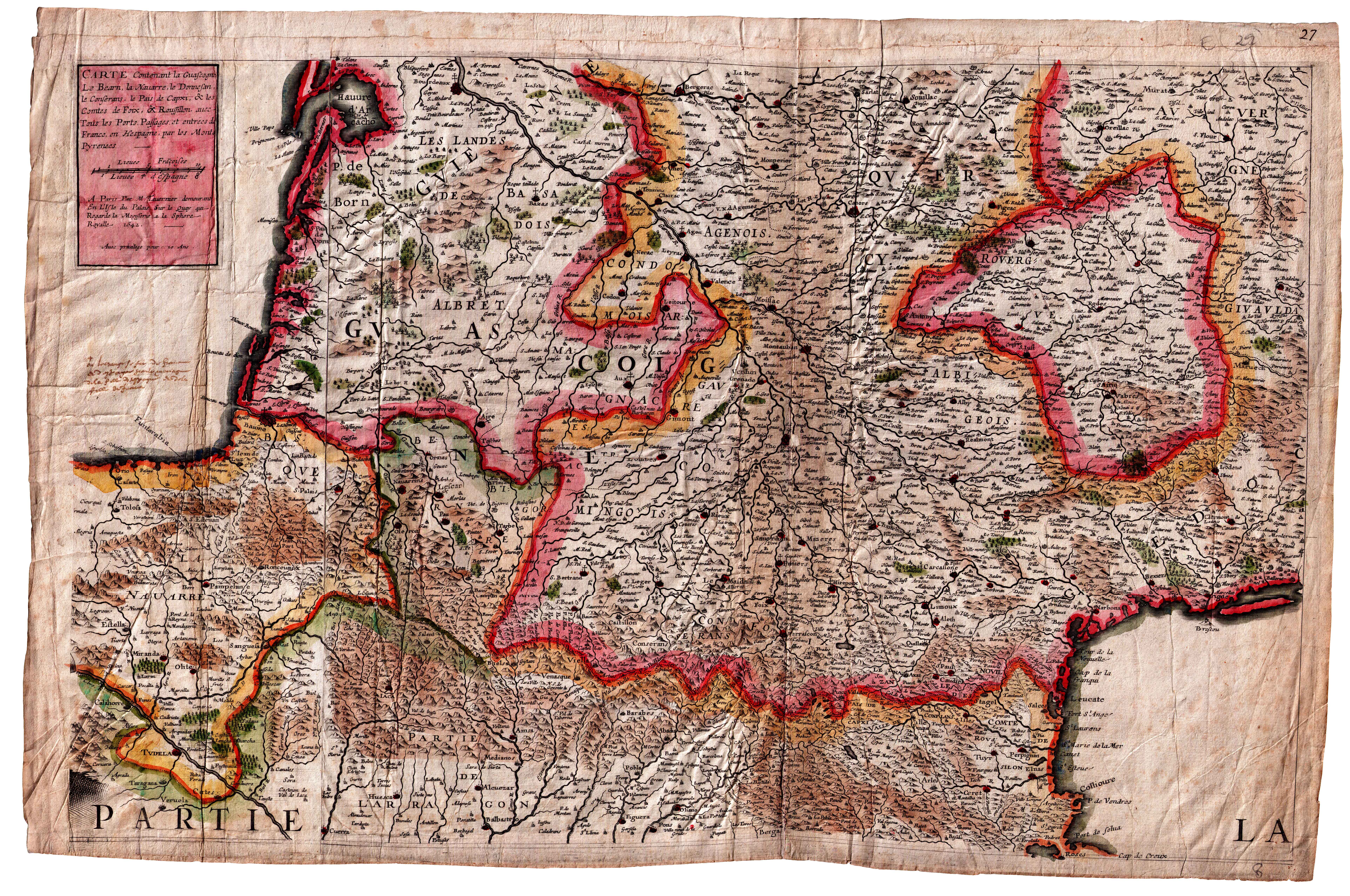
Description
Borders have always been outlined in the realm of cartography. In this map, virtually all the Basque Country is presented under two choronyms, “Basque” and “La Navarre”. The representation of the French-Spanish border is ambiguous, as it was the practice in French cartography during the two centuries following the conquest of Navarre.
![HispaniaEg. g.Arg. g[XVI. mendea]](https://imagovasconiae.eus/wp-content/uploads/2024/03/5-1-300x246.webp)
![Evropa Prima Nova Tabvla [Sebastian Münster][Henricus Petri][Basilea] [1540]](https://imagovasconiae.eus/wp-content/uploads/2024/03/10-1-300x169.jpg)
![Regni Hispaniae postomnium editioneslocupletissima descriptio[Abraham Ortelius]arg. g.[Anberes] [1570]](https://imagovasconiae.eus/wp-content/uploads/2024/03/19-1-300x223.jpg)
![Tabula Secunda Europe [Martin Waldseemüller][Joannes Schott][Estrasburgo] [1513]](https://imagovasconiae.eus/wp-content/uploads/2024/03/7-1-300x201.webp)
