

Description
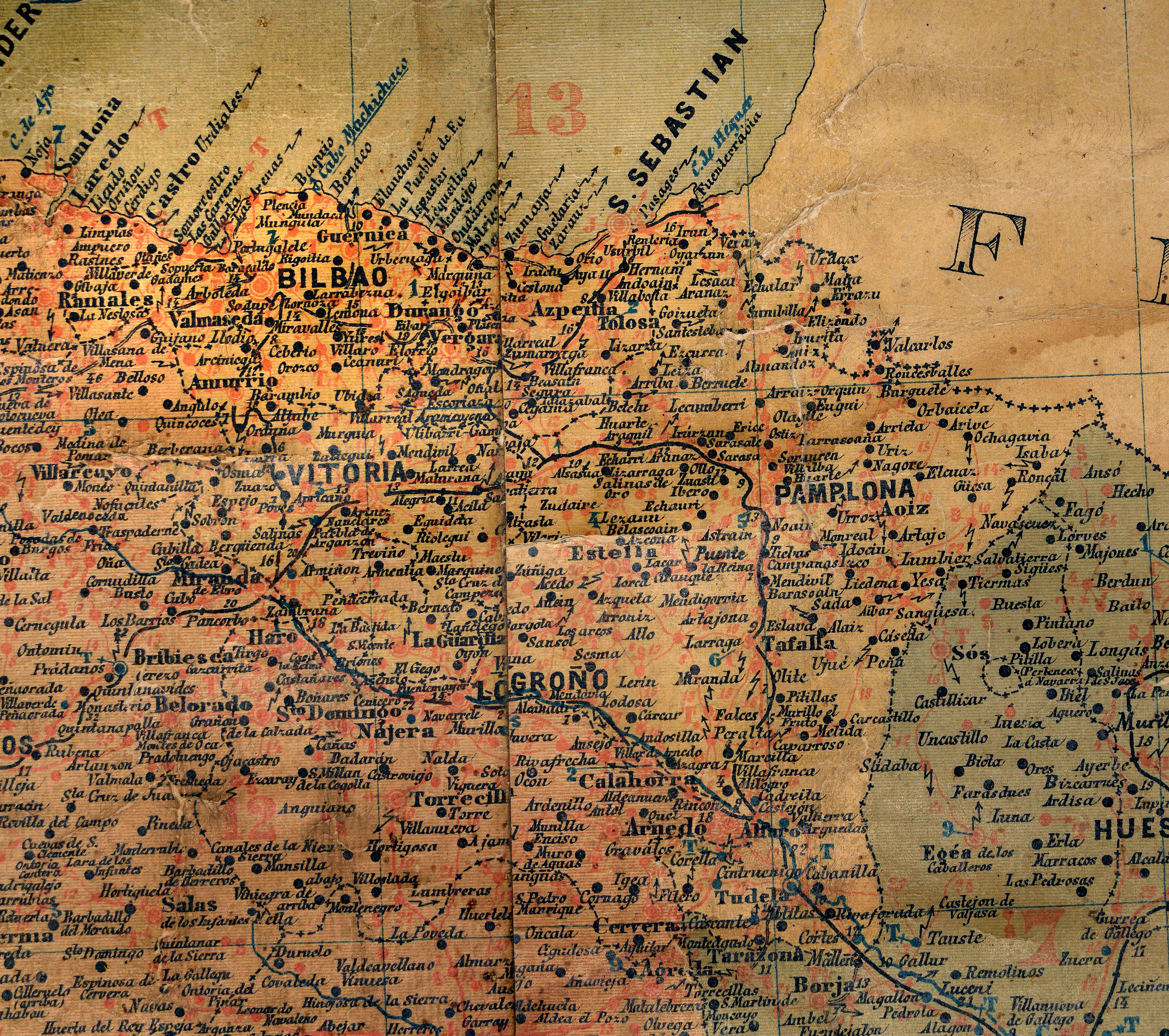
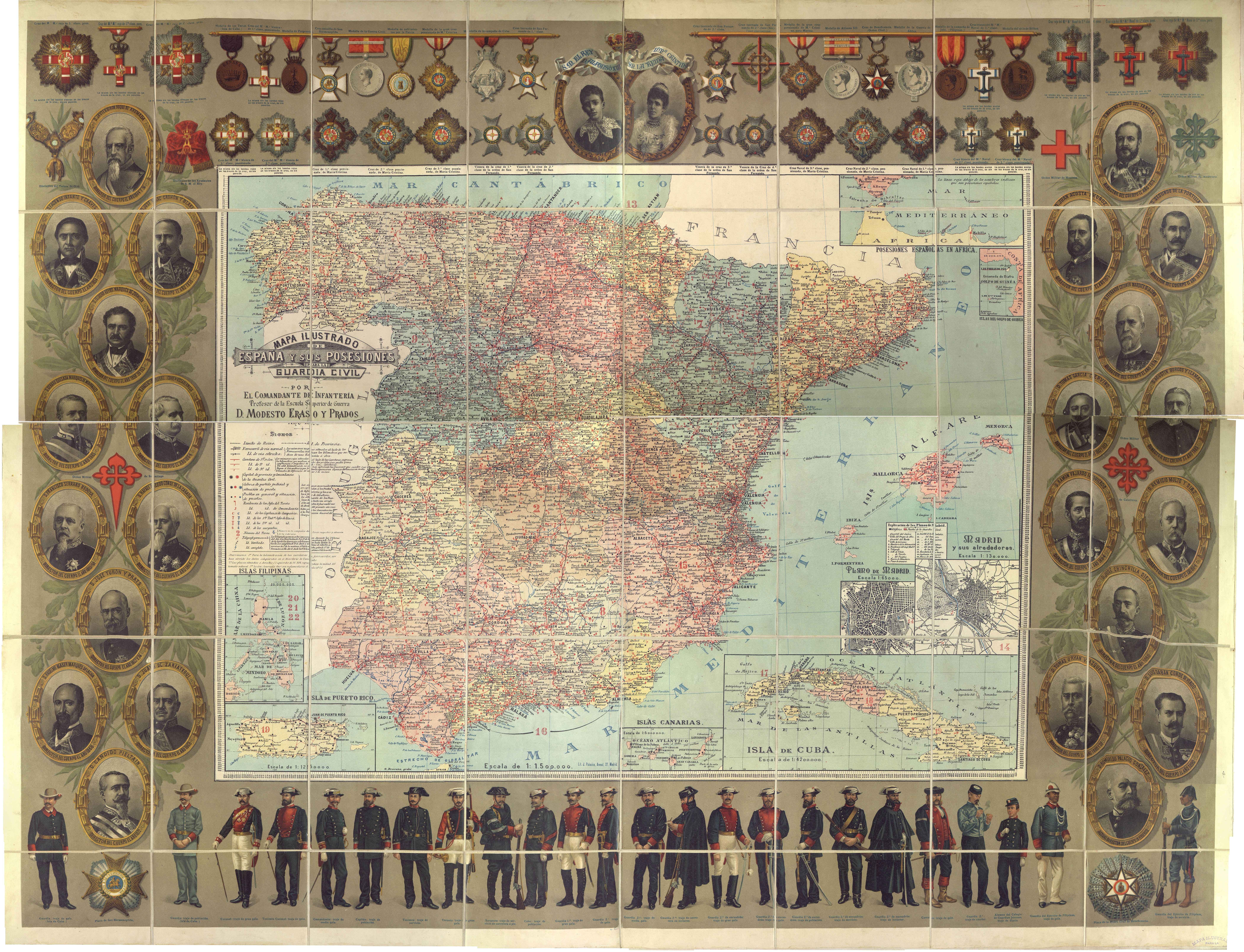
In the late 19th century, a number of military maps were released. Most of them combine sheer geographic information with large-size margins illustrating outfits of the different military bodies and their decorations. In this map of the Civil Guard, Basque territories are presented together in the same district.
![Evropa Prima Nova Tabvla [Sebastian Münster][Henricus Petri][Basilea] [1540]](https://imagovasconiae.eus/wp-content/uploads/2024/03/10-1-300x169.jpg)
![Europa[Ephraim Pagitt][J. Okes][Londres] [1635]](https://imagovasconiae.eus/wp-content/uploads/2024/03/40-1-300x222.jpg)
![[Tabula II Europae][Laurent Fries][Joannes Grüninger][Estrasburgo] [1522]](https://imagovasconiae.eus/wp-content/uploads/2024/03/6-1-300x182.webp)
![HispaniaEg. g.Arg. g[XVI. mendea]](https://imagovasconiae.eus/wp-content/uploads/2024/03/5-1-300x246.webp)
