

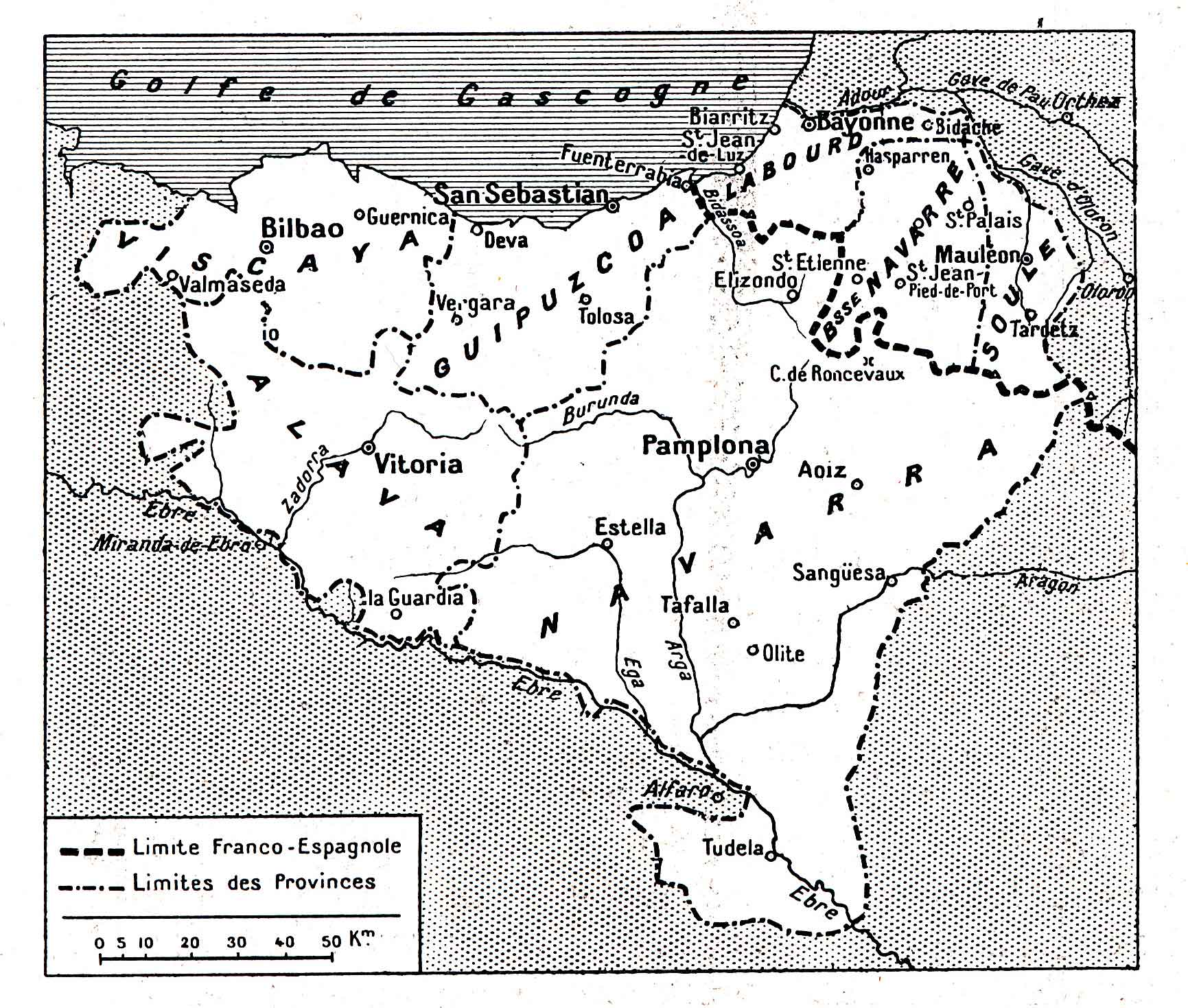
Description
The Second Spanish Republic attracted the attention of the world to Spain and the Basques. Many European publications were illustrated with maps. On these four examples, the maps contribute to the work carried out by the geographer Lefebvre on the human geography of the Eastern Pyrenees. Justo Garate included a map in his translation of Xaho’s work, Viaje a Navarra durante la Insurrección de los Vascos. During the period of the Third Reich, the anthropologist Ziesemer studied the Basque case and its geographic position in Europe. Additionally, the illustrated press left examples like this one in L’Illustration.
![Regni Hispaniae postomnium editioneslocupletissima descriptio[Abraham Ortelius]arg. g.[Anberes] [1570]](https://imagovasconiae.eus/wp-content/uploads/2024/03/19-1-300x223.jpg)
![Tab II Europae/Hispaniam ac Lusitaniam[Gerard Mercator][G. Kempen][Kolonia] [1578]](https://imagovasconiae.eus/wp-content/uploads/2024/03/21-1-300x231.jpg)
![HispaniaEg. g.Arg. g[XVI. mendea]](https://imagovasconiae.eus/wp-content/uploads/2024/03/5-1-300x246.webp)
![[Iberiar Penintsulako eta Afrika Ipar-ekialdeko karta portulanoa] [Battista Agnese] Eskuizkribua [Venezia] [1553 inguru](https://imagovasconiae.eus/wp-content/uploads/2024/03/14-1-1-300x214.jpg)
