

Description
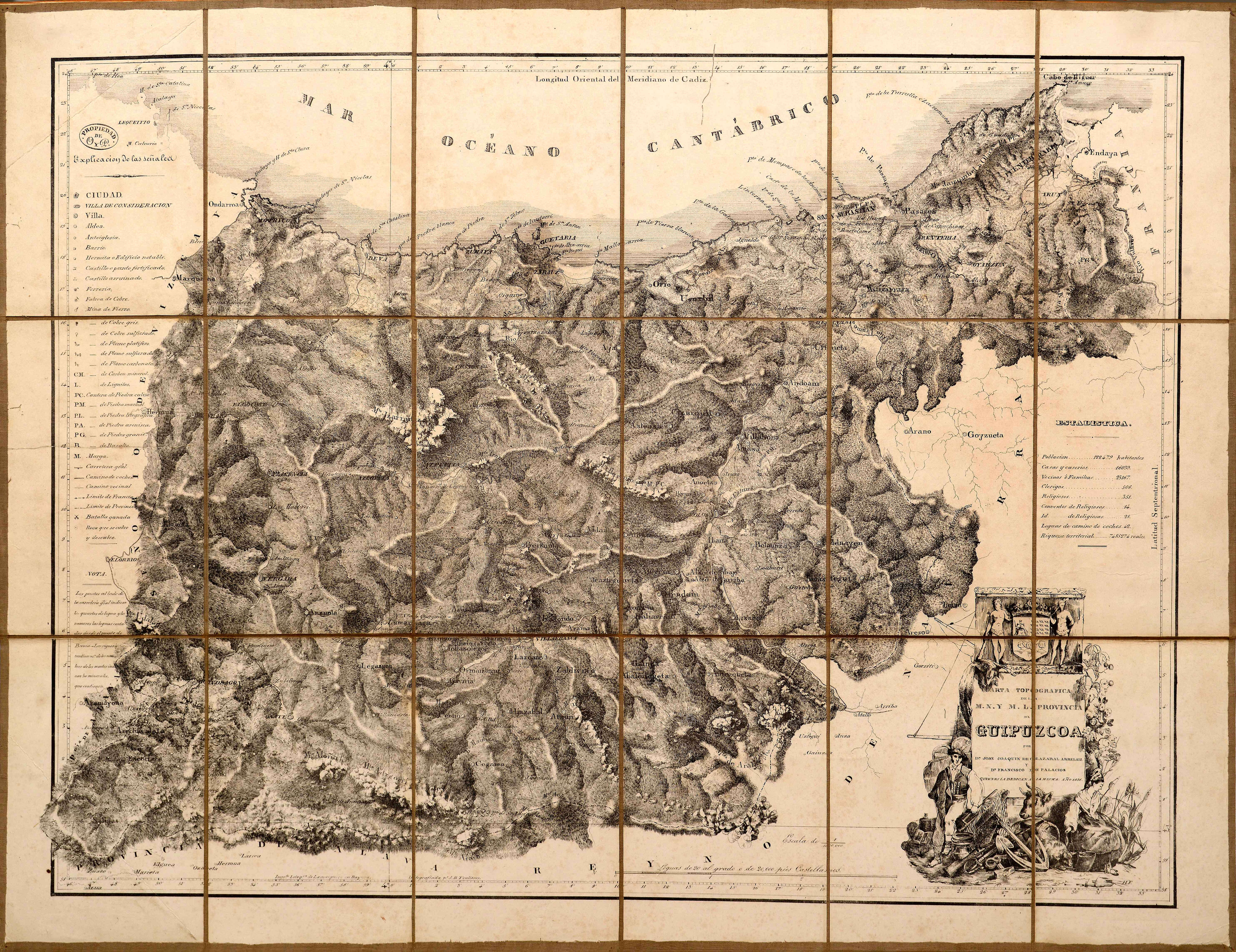
The first printed maps promoted by natives were not printed until the first half of the 19th century in the cases of Gipuzkoa, Biscay and Alava. Navarre, however, thanks to Josep de Horta, from Tafalla, had a magnificent copy as early as 1724.
![Hispania III Nova Tabula[Sebastian Münster] [Henricus Petri][Basilea] [1540]](https://imagovasconiae.eus/wp-content/uploads/2024/03/13-1-300x234.webp)
![[Mediterraneoko eta Atlantikoaren kostaldeko itsasbidea][Antonio Millo]Eskuizkribua[Venezia] [1583]](https://imagovasconiae.eus/wp-content/uploads/2024/03/23-1-300x194.jpg)
![[Mapamundia][Urbano Monti]EskuizkribuaMilan [1587]](https://imagovasconiae.eus/wp-content/uploads/2024/03/27-1-300x223.jpg)
