

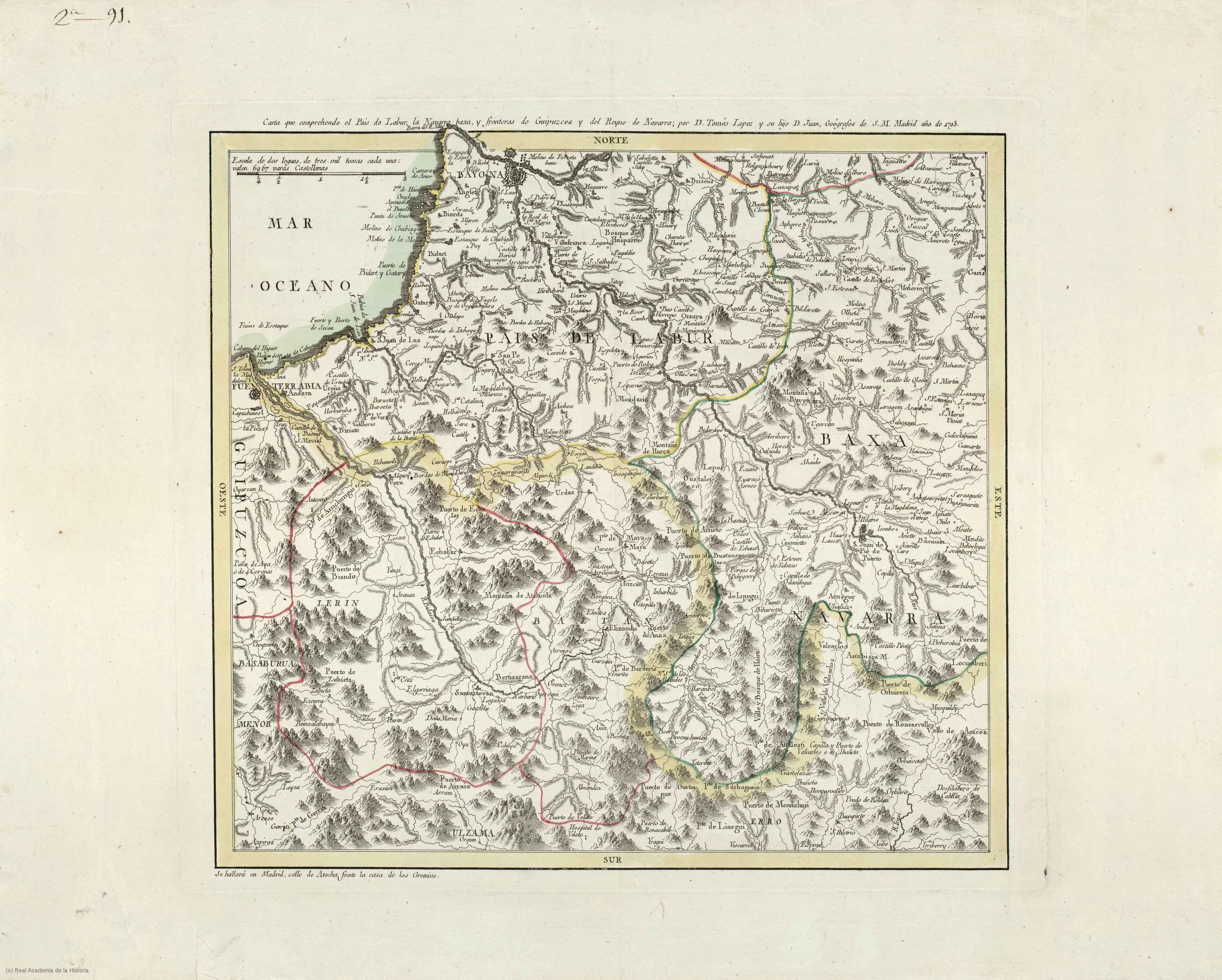
Description
On the occasion of the War of the Pyrenées in 1793, Tomás López produced in the press two similar, loose copies describing the theatre of war, i.e. the Roussillon and Lapurdi (Labourd). The map scale, approx. 1:170.000, delivers with certain degree of detail the bordering areas where war clashes took place.
![[Europa/ Lehendabiziko Liburuko lehendabiziko panela][Johann Stumpf][Christoffel Froschouer][Zurich] [1548]](https://imagovasconiae.eus/wp-content/uploads/2024/03/15-1-300x232.jpg)
![[Europa][Giuseppe Rosaccio][Giuseppe Rosaccio][Venezia] [1594 inguru]](https://imagovasconiae.eus/wp-content/uploads/2024/03/29-1-300x232.jpg)
![[Mediterraneoko eta Atlantikoaren kostaldeko itsasbidea][Plácido Caloiro y Oliva]Eskuizkribual.g. [16-–]](https://imagovasconiae.eus/wp-content/uploads/2024/03/24-1-300x154.jpg)
![Hispania III Nova Tabula[Sebastian Münster] [Henricus Petri][Basilea] [1540]](https://imagovasconiae.eus/wp-content/uploads/2024/03/13-1-300x234.webp)
