

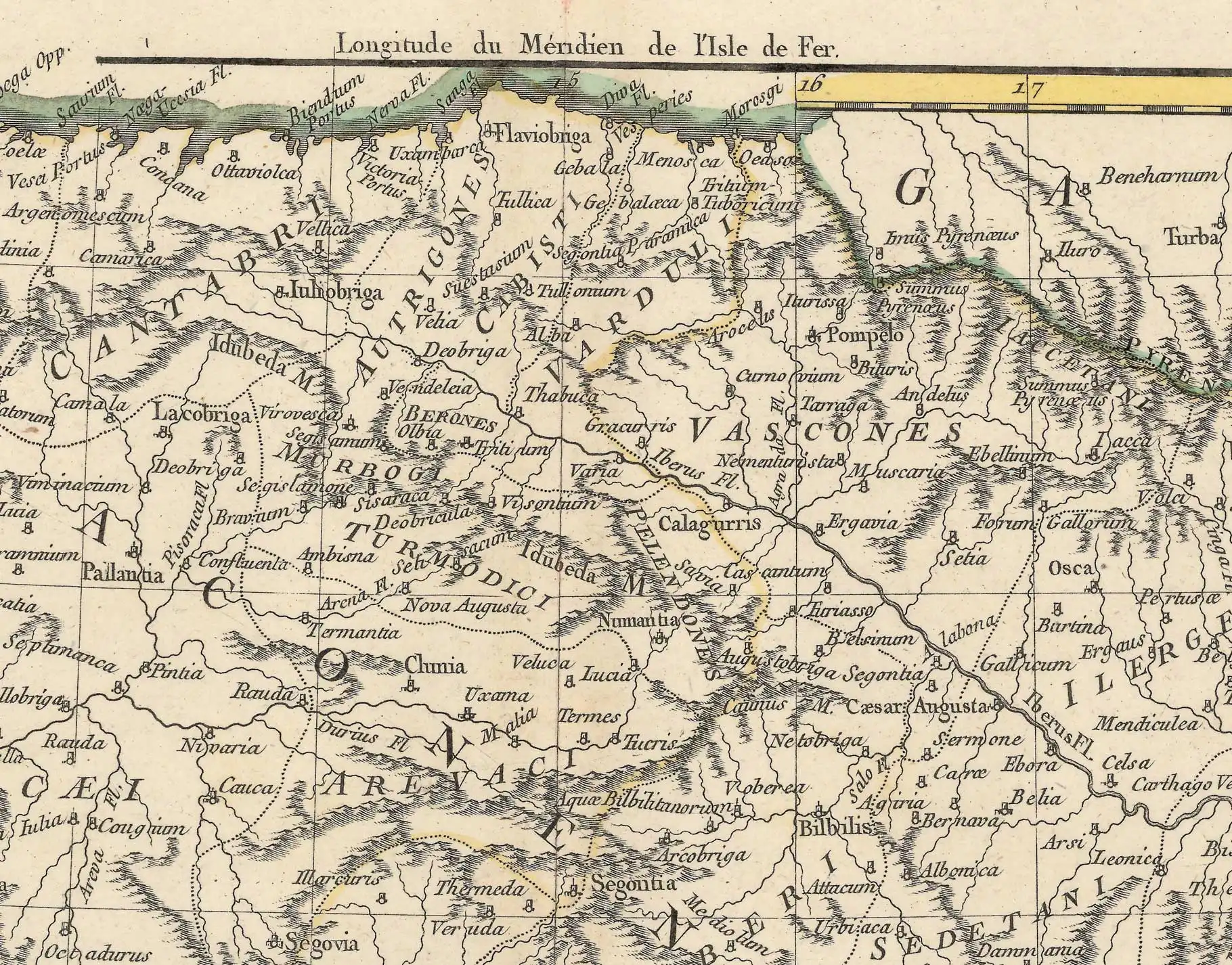
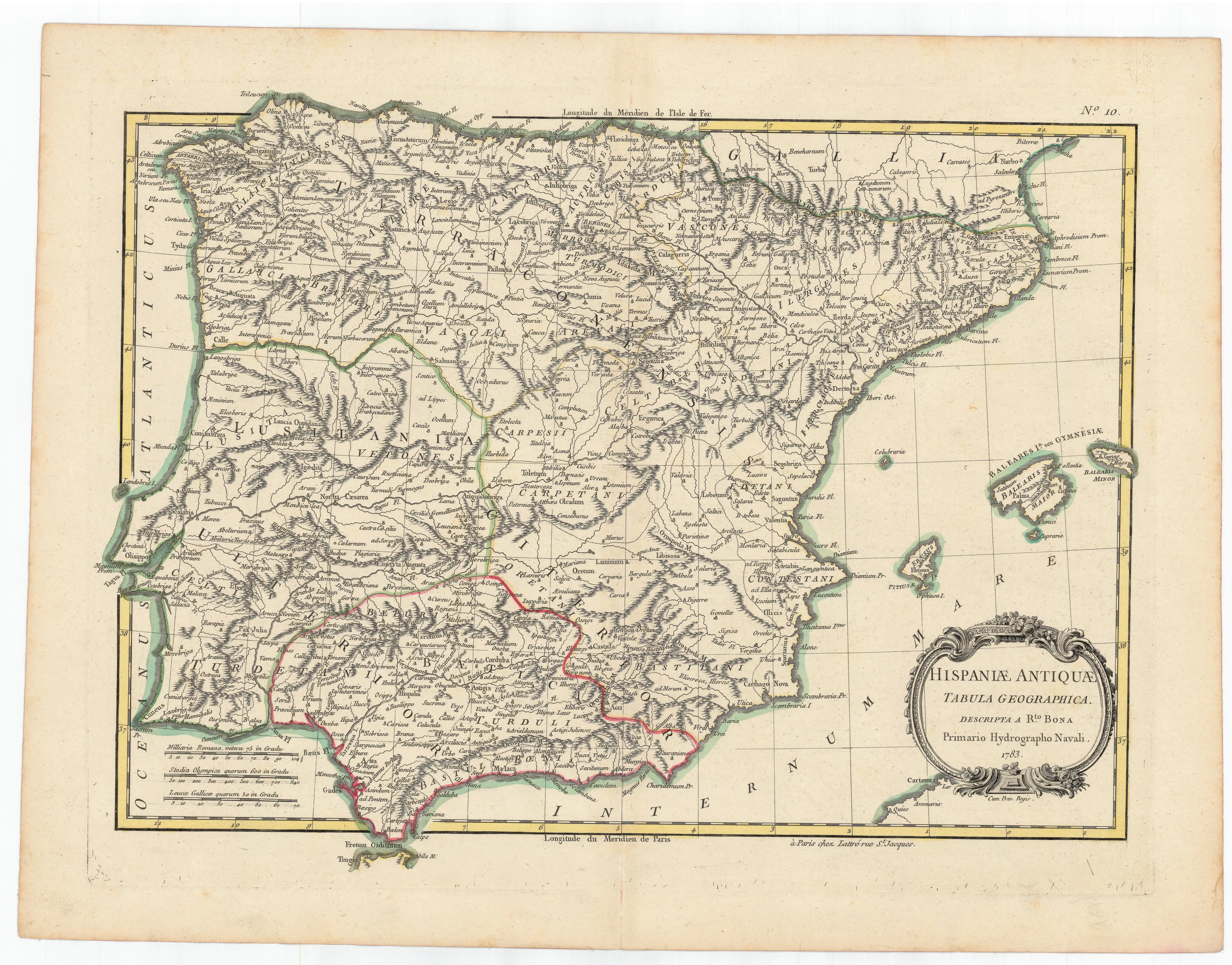
Description
During the Century of The Lights, education saw an important development. Cartography did not change its primary military orientation, but the number of maps with a scientific and educational vocation increased. A number of them were devoted to history. We intend to show a variety of them, fashioned in England, France, Italy and Spain, showing the perception they held on our territory back in ancient Europe.
![Evropa Prima Nova Tabvla [Sebastian Münster][Henricus Petri][Basilea] [1540]](https://imagovasconiae.eus/wp-content/uploads/2024/03/10-1-300x169.jpg)
![Regni Hispaniae postomnium editioneslocupletissima descriptio[Abraham Ortelius]arg. g.[Anberes] [1570]](https://imagovasconiae.eus/wp-content/uploads/2024/03/19-1-300x223.jpg)
![[Mediterraneoko eta Atlantikoaren kostaldeko itsasbidea][Antonio Millo]Eskuizkribua[Venezia] [1583]](https://imagovasconiae.eus/wp-content/uploads/2024/03/23-1-300x194.jpg)
![[Iberiar Penintsulako eta Afrika Ipar-ekialdeko karta portulanoa] [Battista Agnese] Eskuizkribua [Venezia] [1553 inguru](https://imagovasconiae.eus/wp-content/uploads/2024/03/14-1-1-300x214.jpg)
