


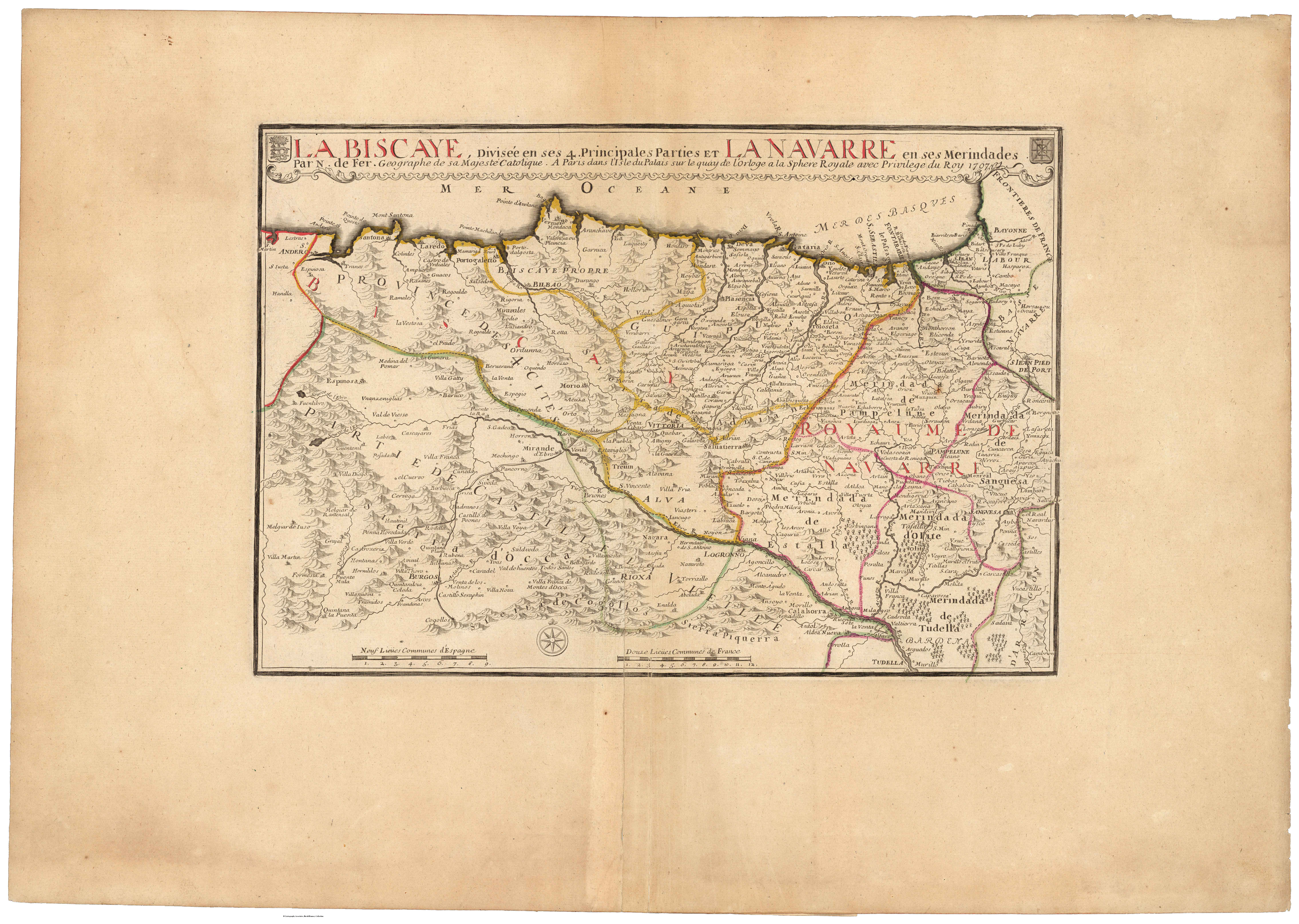
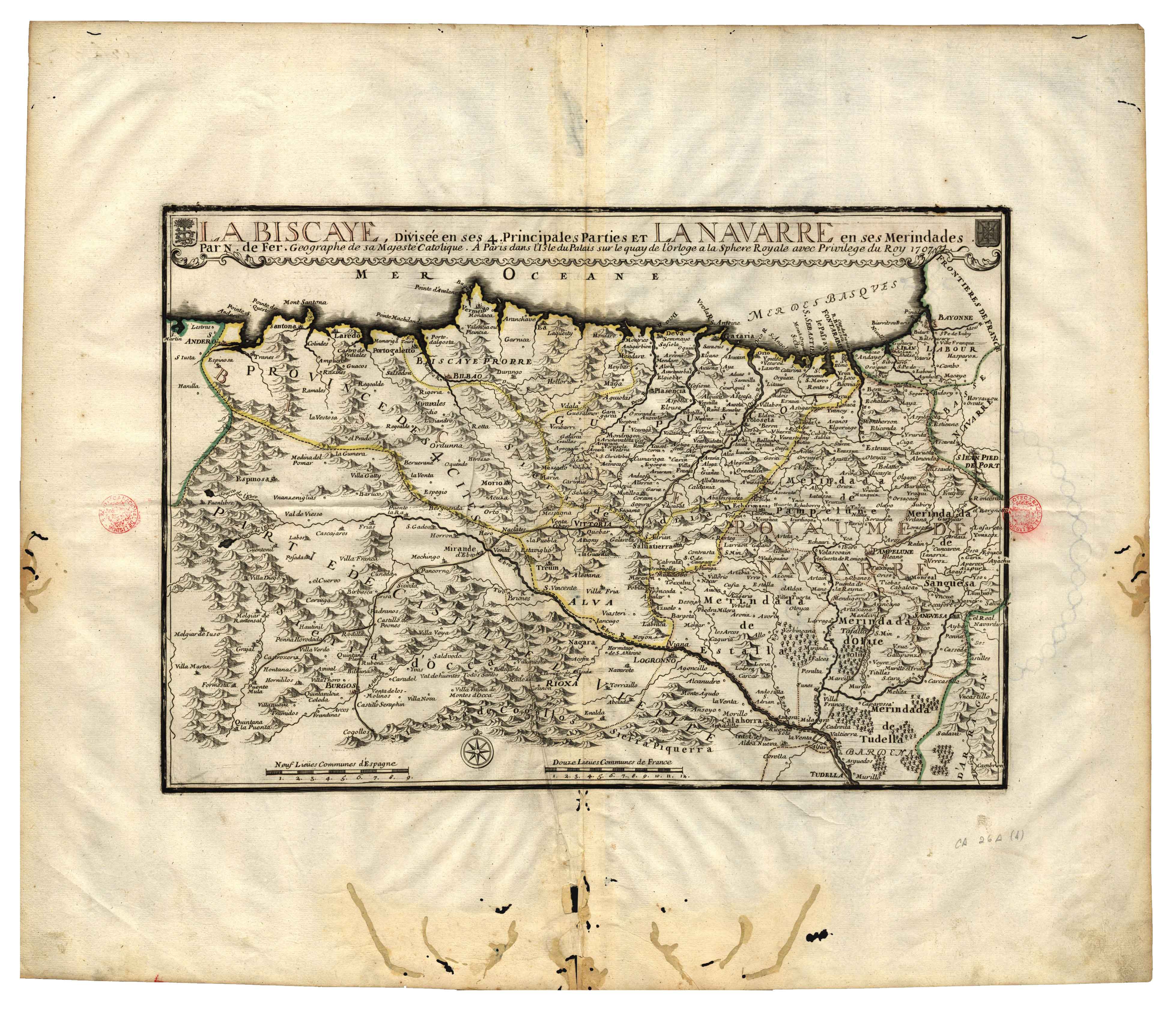
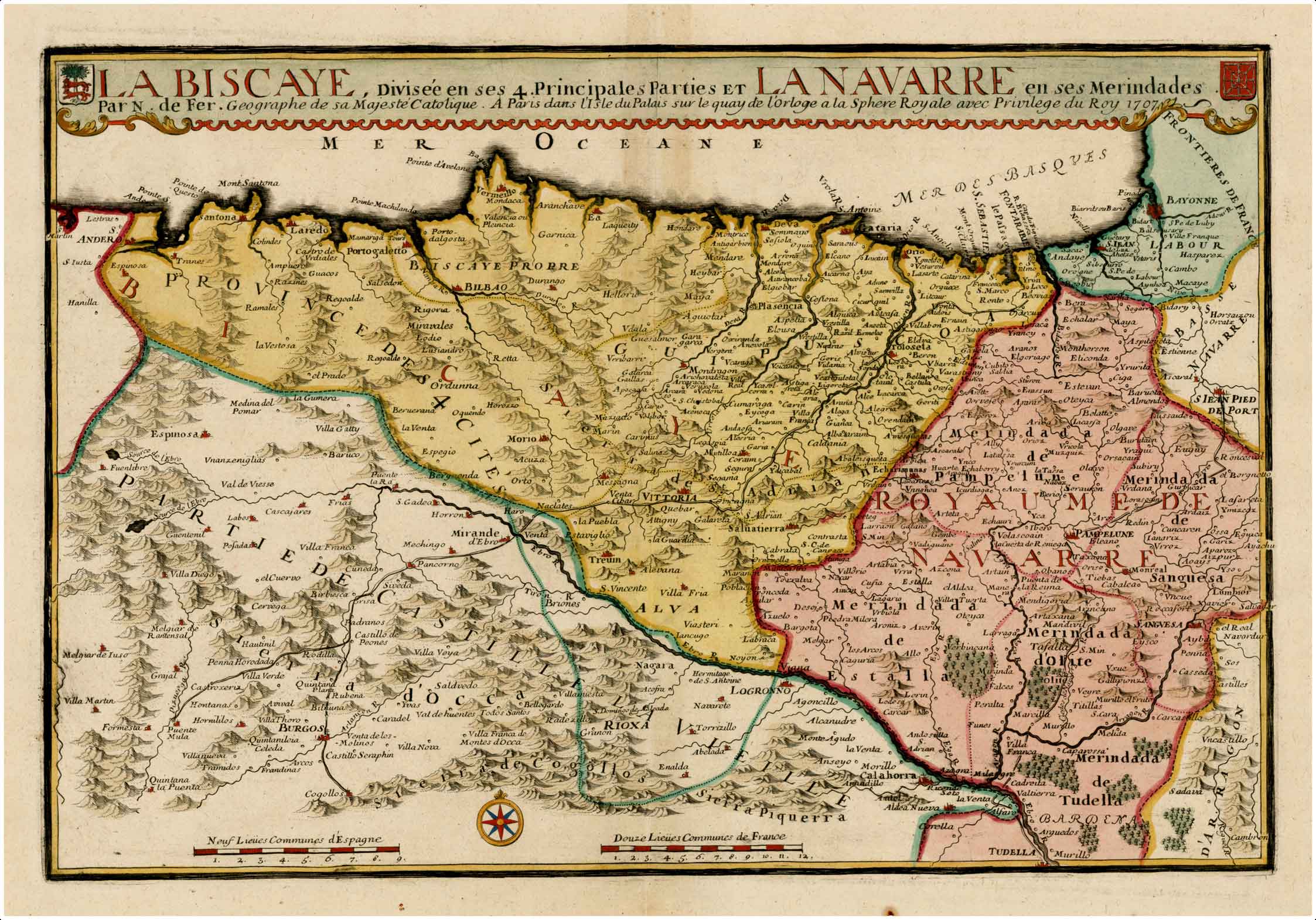
Description
Nicolas de Fer, cartographer, engraver and publisher, was the trusted geographer of the Bourbons both in France and Spain. He authored over 600 maps, for which he was accused of giving preference to the quantity of materials, rather than quality. This map follows the paradigm set by Cantelli’s work.
![Evropa Prima Nova Tabvla [Sebastian Münster][Henricus Petri][Basilea] [1540]](https://imagovasconiae.eus/wp-content/uploads/2024/03/10-1-300x169.jpg)
![HispaniaEg. g.Arg. g[XVI. mendea]](https://imagovasconiae.eus/wp-content/uploads/2024/03/5-1-300x246.webp)
![[Mediterraneoko eta Atlantikoaren kostaldeko itsasbidea][Antonio Millo]Eskuizkribua[Venezia] [1583]](https://imagovasconiae.eus/wp-content/uploads/2024/03/23-1-300x194.jpg)
![Regni Hispaniae postomnium editioneslocupletissima descriptio[Abraham Ortelius]arg. g.[Anberes] [1570]](https://imagovasconiae.eus/wp-content/uploads/2024/03/19-1-300x223.jpg)
