

Description
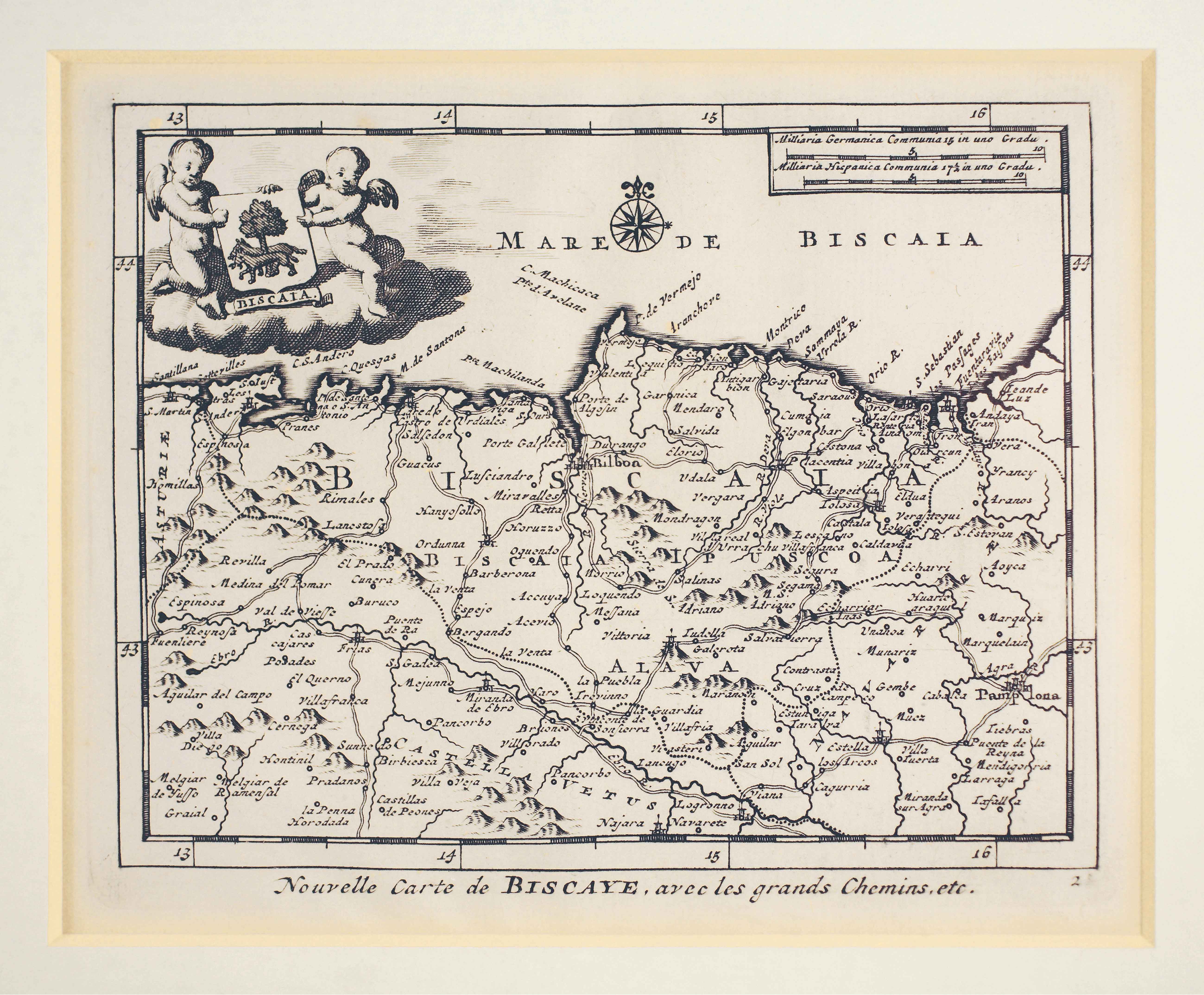
In the early 18th century, the Publisher Van der Aa provides aggregate works rich in illustrations. One referring to the Iberian Peninsula includes this map showing the road network. Despite its title “Biscaia”, it actually comprises most of the Basque area.
![HispaniaEg. g.Arg. g[XVI. mendea]](https://imagovasconiae.eus/wp-content/uploads/2024/03/5-1-300x246.webp)
![Europa, das ein drittheil der erden, nach gelegenheit unserer zeit beschrieben[Sebastian Münster][Henricus Petri][Basilea] [1588]](https://imagovasconiae.eus/wp-content/uploads/2024/03/11-1-300x168.jpg)
![Europa[Ephraim Pagitt][J. Okes][Londres] [1635]](https://imagovasconiae.eus/wp-content/uploads/2024/03/40-1-300x222.jpg)
![[Tabula II Europae][Laurent Fries][Joannes Grüninger][Estrasburgo] [1522]](https://imagovasconiae.eus/wp-content/uploads/2024/03/6-1-300x182.webp)
